Underwood Area, Underwood Postcode(9816) & Map in Underwood
Underwood Area, Underwood Postcode(9816) & Map in Underwood, Southland District, New Zealand
Underwood, Southland District, New Zealand
Underwood Postcodes
Underwood Area (estimated)
3.5 square kilometersUnderwood Population (estimated)
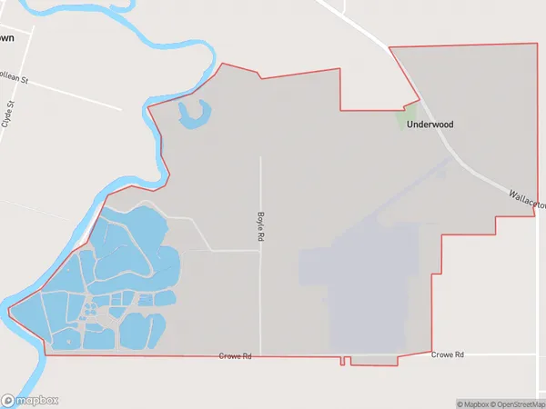
26 people live in Underwood, Oreti Community, NZUnderwood Suburb Area Map (Polygon)
Underwood Introduction
Underwood is a small rural community in Southland, New Zealand, located on the banks of the Clutha River. It is known for its picturesque scenery, friendly locals, and agricultural heritage. The area has a rich history, with early European settlers arriving in the 1860s. Today, Underwood is a popular destination for tourists who enjoy hiking, fishing, and exploring the surrounding countryside.Region
Major City
Suburb Name
UnderwoodOther Name(s)
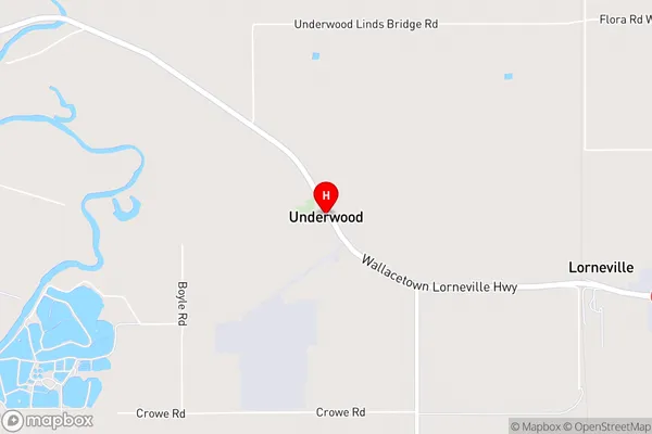
Makarewa WestUnderwood Area Map (Street)
Local Authority
Southland DistrictFull Address
Underwood, Southland District, New ZealandAddress Type
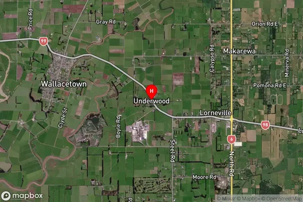
Locality in City InvercargillUnderwood Suburb Map (Satellite)
Country
Main Region in AU
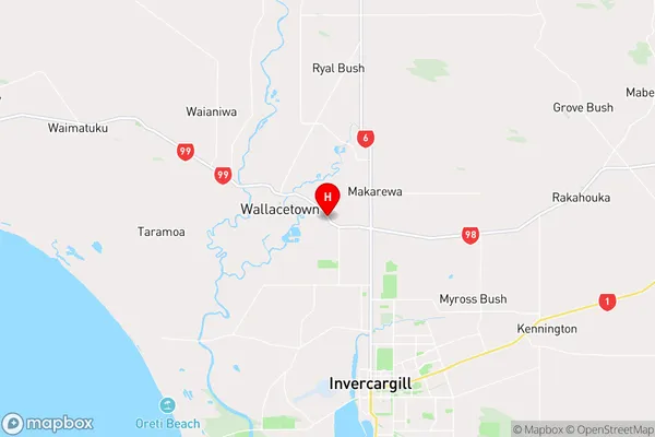
SouthlandUnderwood Region Map
Coordinates
-46.3402957,168.3201019 (latitude/longitude)Distances
The distance from Underwood, Invercargill, Southland District to NZ Top 10 Cities