Tutaki Area, Tutaki Postcode(7007) & Map in Tutaki
Tutaki Area, Tutaki Postcode(7007) & Map in Tutaki, Tasman District, New Zealand
Tutaki, Tasman District, New Zealand
Tutaki Postcodes
Tutaki Area (estimated)
164.2 square kilometersTutaki Population (estimated)
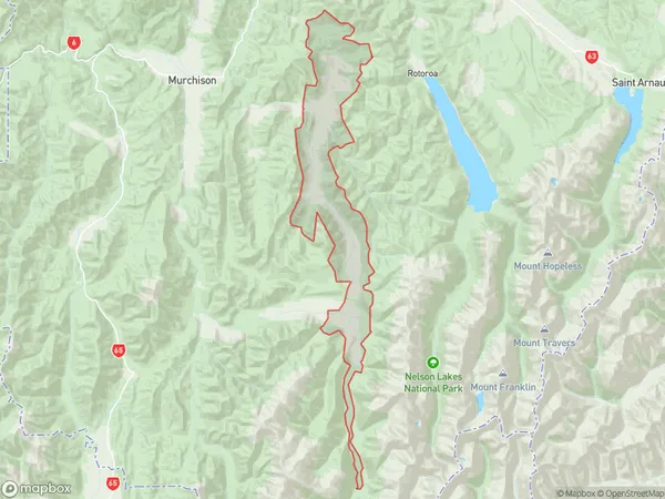
59 people live in Tutaki, Tasman, NZTutaki Suburb Area Map (Polygon)
Tutaki Introduction
Tutaki is a small settlement in the Murchison District of New Zealand's South Island. It is situated on the banks of the Murchison River, near the confluence with the Tutaki River. The area is known for its scenic beauty, including waterfalls, forests, and mountains. The settlement has a population of around 50 people and is primarily a farming community. It is also home to a small museum that showcases the area's history and culture.Region
Major City
Suburb Name
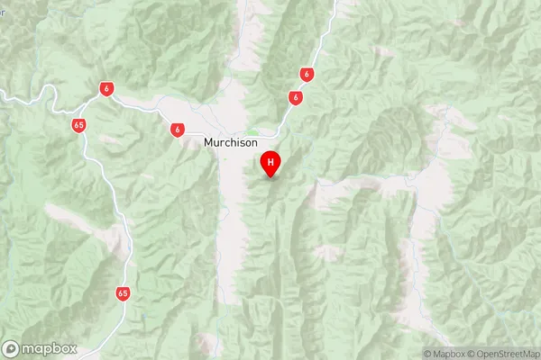
Tutaki (Maori Name: Tūtaki)Tutaki Area Map (Street)
Local Authority
Tasman DistrictFull Address
Tutaki, Tasman District, New ZealandAddress Type
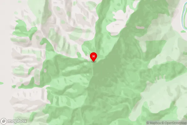
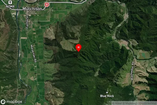
Locality in Town MurchisonTutaki Suburb Map (Satellite)
Country
Main Region in AU
TasmanTutaki Region Map
Coordinates
-41.820902,172.359074 (latitude/longitude)Distances
The distance from Tutaki, Murchison, Tasman District to NZ Top 10 Cities