Brydone Area, Brydone Postcode(9710) & Map in Brydone, Gore District
Brydone Area, Brydone Postcode(9710) & Map in Brydone, Gore District, Southland District, New Zealand
Brydone, Gore District, Southland District, New Zealand
Brydone Postcodes
Brydone Area (estimated)
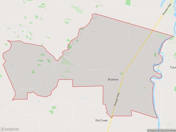
46.9 square kilometersBrydone Population (estimated)
151 people live in Brydone, Waihopai Toetoe Community, NZBrydone Suburb Area Map (Polygon)
Brydone Introduction
Brydone is a small rural community in Southland, New Zealand, located on the banks of the Mataura River. It is known for its scenic surroundings, including the Brydone Forest Park, and its friendly community. The area has a rich history, with early European settlers arriving in the 1860s. Today, Brydone is a popular destination for tourists and outdoor enthusiasts, with many activities to enjoy, such as hiking, fishing, and hunting.Region
Major City
Suburb Name
BrydoneOther Name(s)
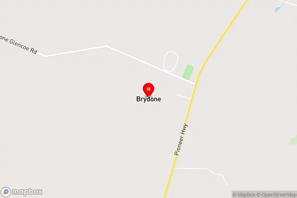
Brydone North, Tuturau SouthBrydone Area Map (Street)
Local Authority
Gore District, Southland DistrictFull Address
Brydone, Gore District, Southland District, New ZealandAddress Type
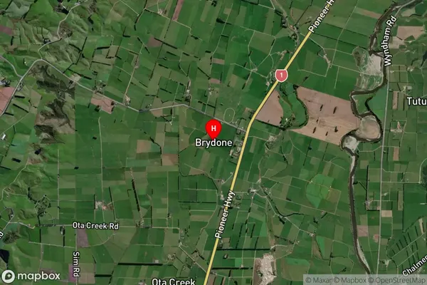
Locality in Town MatauraBrydone Suburb Map (Satellite)
Country
Main Region in AU
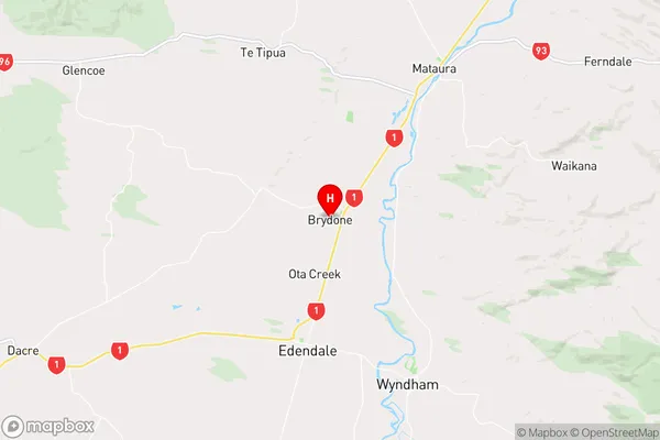
SouthlandBrydone Region Map
Coordinates
-46.25813,168.79922 (latitude/longitude)Distances
The distance from Brydone, Mataura, Gore District, Southland District to NZ Top 10 Cities