Thorndon Area, Thorndon Postcode(6145) & Map in Thorndon
Thorndon Area, Thorndon Postcode(6145) & Map in Thorndon, Wellington City, New Zealand
Thorndon, Wellington City, New Zealand
Thorndon Area (estimated)
1.8 square kilometersThorndon Population (estimated)
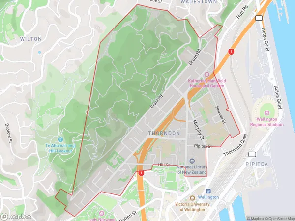
4295 people live in Thorndon, Wellington, NZThorndon Suburb Area Map (Polygon)
Thorndon Introduction
Thorndon is a suburb of Wellington, New Zealand, located in the western part of the city. It is known for its historic homes, leafy streets, and proximity to the central business district. Thorndon also has a popular shopping area with a variety of stores and restaurants. The suburb is well-serviced by public transportation, including buses and trains, and is within walking distance of the Wellington CBD.Region
Major City
Suburb Name
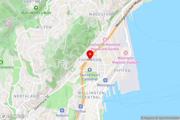
ThorndonThorndon Area Map (Street)
Local Authority
Wellington CityFull Address
Thorndon, Wellington City, New ZealandAddress Type
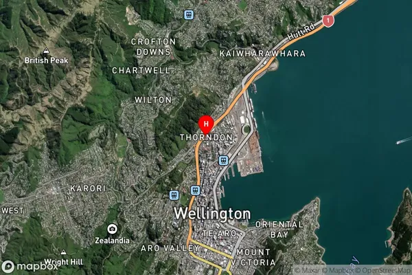
Suburb in City WellingtonThorndon Suburb Map (Satellite)
Country
Main Region in AU
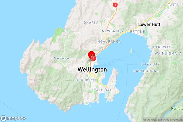
WellingtonThorndon Region Map
Coordinates
-41.2745396,174.7756309 (latitude/longitude)Distances
The distance from Thorndon, Wellington, Wellington City to NZ Top 10 Cities