Te Aro Area, Te Aro Postcode(6011) & Map in Te Aro
Te Aro Area, Te Aro Postcode(6011) & Map in Te Aro, Wellington City, New Zealand
Te Aro, Wellington City, New Zealand
Te Aro Postcodes
Te Aro Area (estimated)
1.5 square kilometersTe Aro Population (estimated)
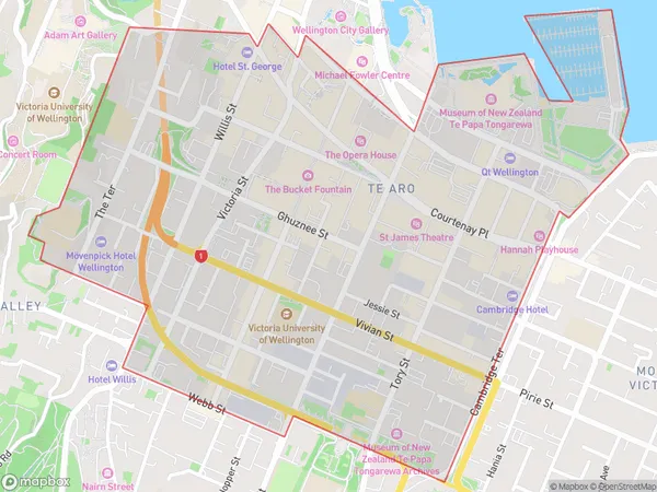
14327 people live in Te Aro, Wellington, NZTe Aro Suburb Area Map (Polygon)
Te Aro Introduction
Te Aro is a vibrant and diverse suburb in Wellington, New Zealand. It is known for its vibrant arts scene, with numerous galleries and museums, and its popular cafes and restaurants. The suburb also has a strong community spirit, with numerous events and festivals held throughout the year. Te Aro is home to the Wellington City Council and is located in the heart of the city's cultural district.Region
Major City
Suburb Name
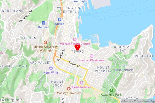
Te AroTe Aro Area Map (Street)
Local Authority
Wellington CityFull Address
Te Aro, Wellington City, New ZealandAddress Type
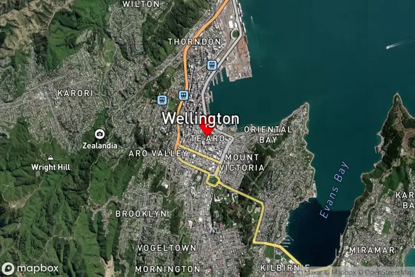
Suburb in City WellingtonTe Aro Suburb Map (Satellite)
Country
Main Region in AU
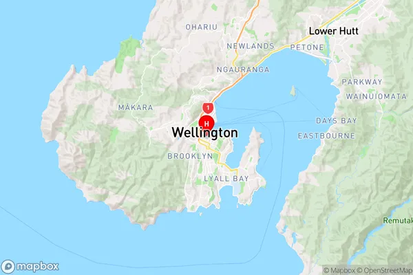
WellingtonTe Aro Region Map
Coordinates
-41.2925372,174.7789184 (latitude/longitude)Distances
The distance from Te Aro, Wellington, Wellington City to NZ Top 10 Cities