Tawa Area, Tawa Postcode(5028) & Map in Tawa
Tawa Area, Tawa Postcode(5028) & Map in Tawa, Wellington City, New Zealand
Tawa, Wellington City, New Zealand
Tawa Area (estimated)
12.2 square kilometersTawa Population (estimated)
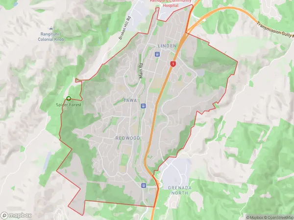
14649 people live in Tawa, Wellington, NZTawa Suburb Area Map (Polygon)
Tawa Introduction
Tawa is a suburb of Wellington, New Zealand, located in the eastern part of the city. It is known for its large population of Pacific Islanders and has a vibrant community culture. The suburb has a variety of shops, restaurants, and recreational facilities, including a library, swimming pool, and sports park. Tawa is also home to a number of important historical sites, including the Tawa Flat Historic Reserve and the Tawa Cemetery.Region
Major City
Suburb Name
TawaOther Name(s)
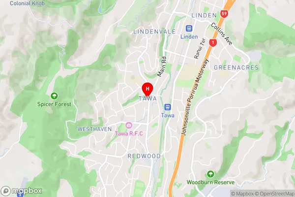
Belmont Regional Park, Greenacres, Linden, Lindenvale, Redwood, Southgate, Sundale, WesthavenTawa Area Map (Street)
Local Authority
Wellington CityFull Address
Tawa, Wellington City, New ZealandAddress Type
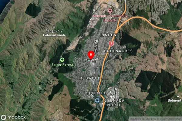
Suburb in City WellingtonTawa Suburb Map (Satellite)
Country
Main Region in AU
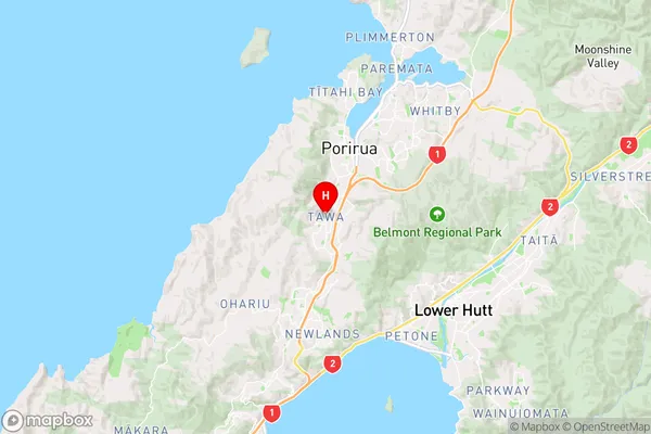
WellingtonTawa Region Map
Coordinates
-41.1681676,174.8247761 (latitude/longitude)Distances
The distance from Tawa, Wellington, Wellington City to NZ Top 10 Cities