Surrey Hills Area, Surrey Hills Postcode & Map in Surrey Hills
Surrey Hills Area, Surrey Hills Postcode & Map in Surrey Hills, Ashburton District,
Surrey Hills, Ashburton District,
Surrey Hills Area (estimated)
211.3 square kilometersSurrey Hills Population (estimated)
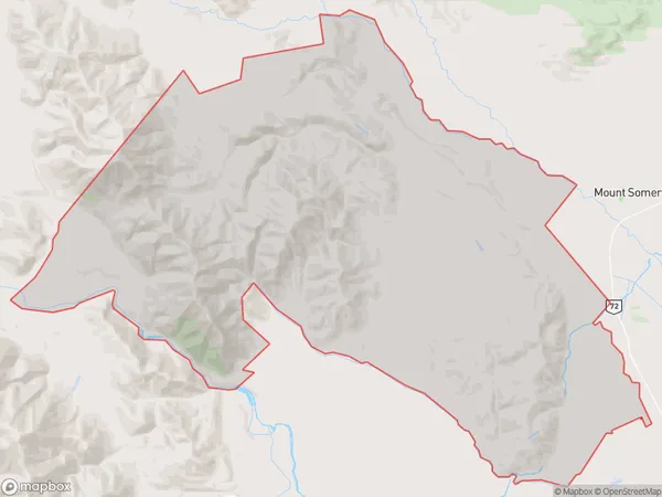
105 people live in Surrey Hills, Ashburton, NZSurrey Hills Suburb Area Map (Polygon)
Surrey Hills Introduction
Surrey Hills is a rural locality in Mount Somers, Canterbury, New Zealand. It is located 11 km south of Mount Somers, 13 km southwest of Ashburton, and 162 km southeast of Christchurch. The area was first settled in the 1860s by Europeans, and the first school was built in 1873. The local economy is primarily based on farming and forestry, with some tourism and hospitality. The area is known for its scenic beauty, with rolling hills, lush green valleys, and picturesque rivers.Region
Major City
Suburb Name
Surrey HillsOther Name(s)
AnamaSurrey Hills Area Map (Street)
Local Authority
Ashburton DistrictFull Address
Surrey Hills, Ashburton District,Address Type
Locality in Major Locality Mount SomersSurrey Hills Suburb Map (Satellite)
Country
Main Region in AU
CanterburySurrey Hills Region Map
Coordinates
0,0 (latitude/longitude)Distances
The distance from Surrey Hills, Mount Somers, Ashburton District to NZ Top 10 Cities