Strathern Area, Strathern Postcode(9812) & Map in Strathern
Strathern Area, Strathern Postcode(9812) & Map in Strathern, Invercargill City, New Zealand
Strathern, Invercargill City, New Zealand
Strathern Area (estimated)
2.0 square kilometersStrathern Population (estimated)
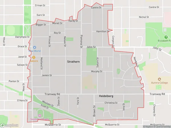
3811 people live in Strathern, Invercargill City, NZStrathern Suburb Area Map (Polygon)
Strathern Introduction
Strathern is a small rural community in Southland, New Zealand, located on the banks of the Clutha River. It is known for its scenic surroundings, including the Strathern Forest Park and the nearby Mount Strathern. The community has a primary school, a post office, and a small supermarket. It is a popular destination for outdoor enthusiasts, with numerous hiking and biking trails in the area.Region
Major City
Suburb Name
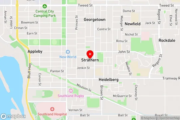
StrathernStrathern Area Map (Street)
Local Authority
Invercargill CityFull Address
Strathern, Invercargill City, New ZealandAddress Type
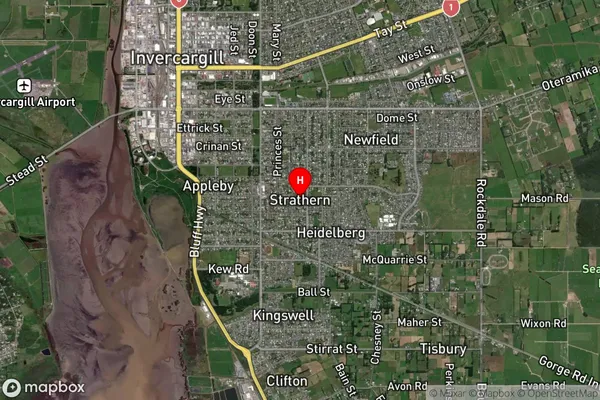
Suburb in City InvercargillStrathern Suburb Map (Satellite)
Country
Main Region in AU
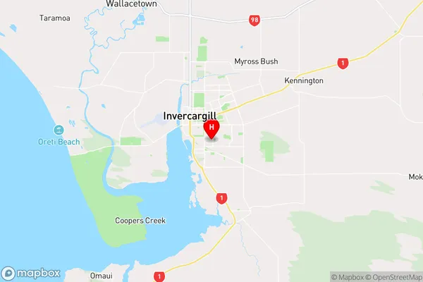
SouthlandStrathern Region Map
Coordinates
-46.4286805,168.3681822 (latitude/longitude)Distances
The distance from Strathern, Invercargill, Invercargill City to NZ Top 10 Cities