Staveley Area, Staveley Postcode(7771) & Map in Staveley
Staveley Area, Staveley Postcode(7771) & Map in Staveley, Ashburton District, New Zealand
Staveley, Ashburton District, New Zealand
Staveley Postcodes
Staveley Area (estimated)
84.2 square kilometersStaveley Population (estimated)
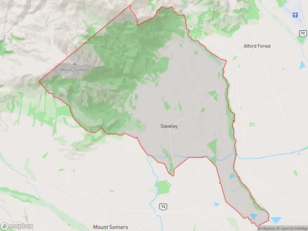
201 people live in Staveley, Canterbury, NZStaveley Suburb Area Map (Polygon)
Staveley Introduction
Staveley is a small rural community in Mount Somers, Canterbury, New Zealand. It is located on State Highway 73, approximately 20 kilometers south of Christchurch. The area is known for its scenic rural landscapes, including rolling hills, farmland, and picturesque rivers. Staveley has a primary school, a post office, a convenience store, and a community hall. The community is surrounded by beautiful natural attractions, including the Mount Somers Forest Park, which offers hiking, mountain biking, and picnicking opportunities.Region
Major City
Suburb Name
StaveleyOther Name(s)
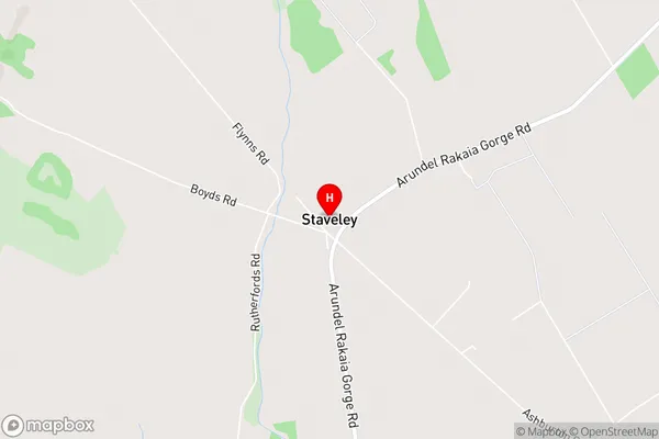
Bushside, SpringburnStaveley Area Map (Street)
Local Authority
Ashburton DistrictFull Address
Staveley, Ashburton District, New ZealandAddress Type
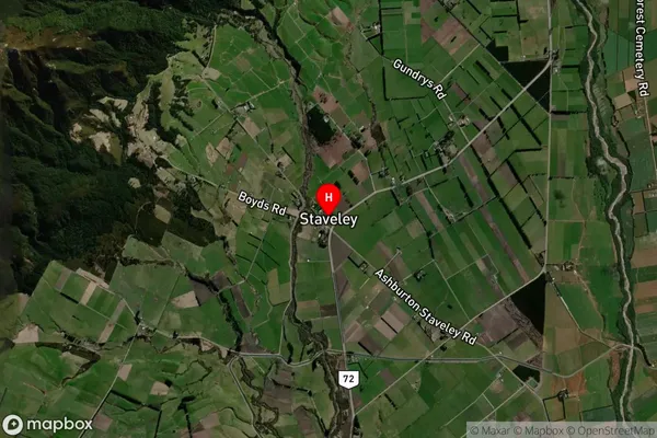
Locality in Major Locality Mount SomersStaveley Suburb Map (Satellite)
Country
Main Region in AU
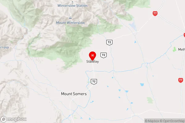
CanterburyStaveley Region Map
Coordinates
-43.6519055,171.442613 (latitude/longitude)Distances
The distance from Staveley, Mount Somers, Ashburton District to NZ Top 10 Cities