Southgate Area, Southgate Postcode(6023) & Map in Southgate
Southgate Area, Southgate Postcode(6023) & Map in Southgate, Wellington City, New Zealand
Southgate, Wellington City, New Zealand
Southgate Postcodes
Southgate Area (estimated)
0.5 square kilometersSouthgate Population (estimated)
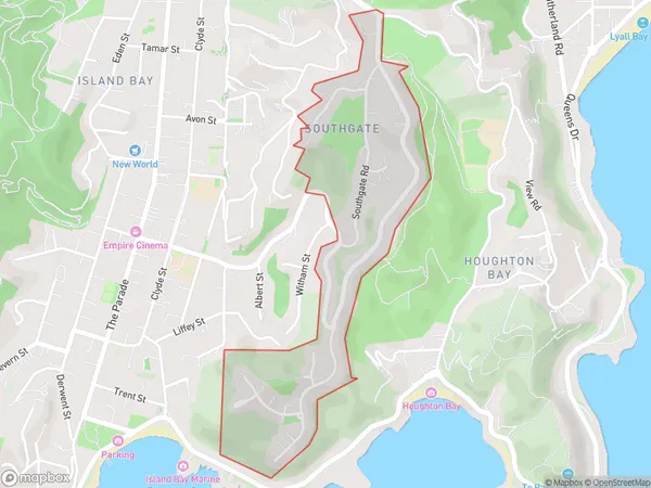
1125 people live in Southgate, Wellington, NZSouthgate Suburb Area Map (Polygon)
Southgate Introduction
Southgate is a suburb of Wellington, New Zealand, located to the south of the city center. It is known for its vibrant community, shopping centers, and recreational facilities, including the Southgate Shopping Mall and the Southgate Park. The suburb is also home to several government institutions, including the New Zealand Parliament and the Ministry of Foreign Affairs and Trade.Region
Major City
Suburb Name
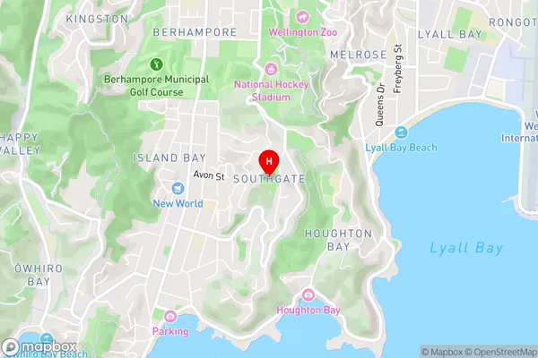
SouthgateSouthgate Area Map (Street)
Local Authority
Wellington CityFull Address
Southgate, Wellington City, New ZealandAddress Type
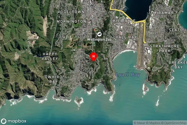
Suburb in City WellingtonSouthgate Suburb Map (Satellite)
Country
Main Region in AU
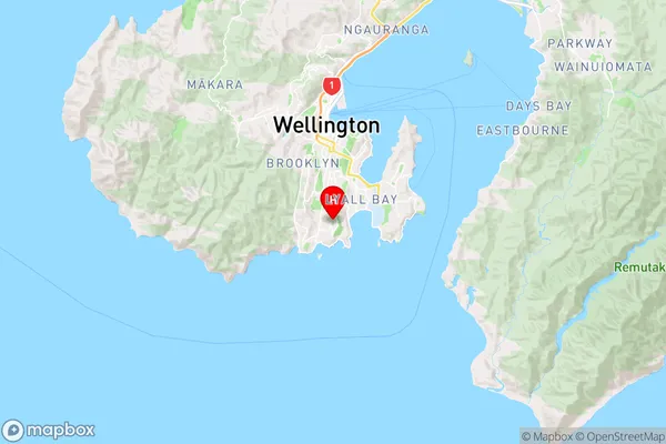
WellingtonSouthgate Region Map
Coordinates
-41.3338263,174.7812115 (latitude/longitude)Distances
The distance from Southgate, Wellington, Wellington City to NZ Top 10 Cities