Albury Area, Albury Postcode(7984) & Map in Albury
Albury Area, Albury Postcode(7984) & Map in Albury, Mackenzie District, New Zealand
Albury, Mackenzie District, New Zealand
Albury Postcodes
Albury Area (estimated)
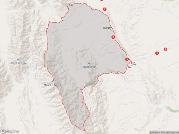
406.3 square kilometersAlbury Population (estimated)
350 people live in Albury, Canterbury, NZAlbury Suburb Area Map (Polygon)
Albury Introduction
Albury is a town in the Canterbury region of New Zealand. It is located on the banks of the Murray River and is known for its historic architecture and vibrant cultural scene. The town has a population of around 50,000 people and is home to a number of popular attractions, including the Albury Wodonga Botanic Garden, the Albury Entertainment Centre, and the National Trust-listed Albury Courthouse.Region
Major City
Suburb Name
AlburyOther Name(s)
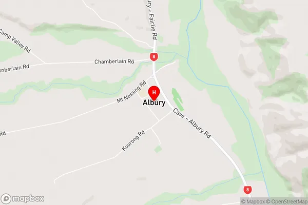
Camp Valley, Chamberlain, Limestone Valley, Mawaro, Monavale, Mount Nessing, Mt NessingAlbury Area Map (Street)
Local Authority
Mackenzie DistrictFull Address
Albury, Mackenzie District, New ZealandAddress Type
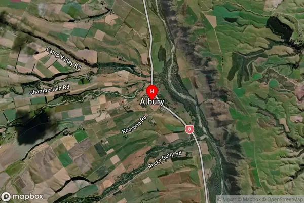
Locality in Major Locality AlburyAlbury Suburb Map (Satellite)
Country
Main Region in AU
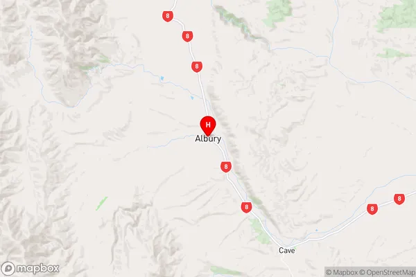
CanterburyAlbury Region Map
Coordinates
-44.2318201,170.8728698 (latitude/longitude)Distances
The distance from Albury, Albury, Mackenzie District to NZ Top 10 Cities