Six Mile Area, Six Mile Postcode & Map in Six Mile
Six Mile Area, Six Mile Postcode & Map in Six Mile, Tasman District, New Zealand
Six Mile, Tasman District, New Zealand
Six Mile Area (estimated)
63.1 square kilometersSix Mile Population (estimated)
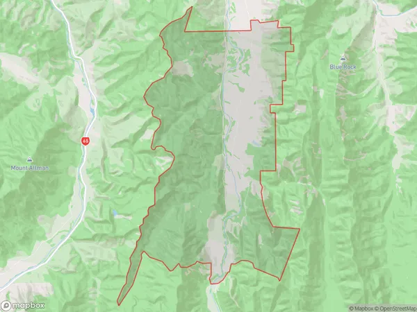
51 people live in Six Mile, Tasman, NZSix Mile Suburb Area Map (Polygon)
Six Mile Introduction
Six Mile is a small rural community in the Murchison District of Tasman District, New Zealand. It is located on State Highway 6, approximately 6 miles south of Murchison and 12 miles north of Nelson. The area was first settled in the 1860s by German settlers, and the community was named after the Six Mile Creek that flows through it. The primary industry in the area is farming, with sheep and beef being the main crops. There is also a small tourist industry, with several accommodation options and a scenic golf course nearby.Region
Major City
Suburb Name
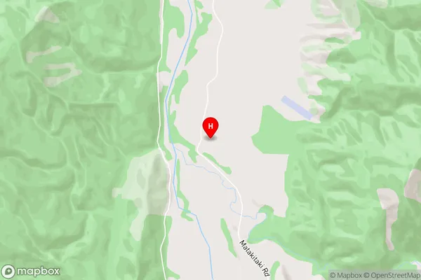
Six MileSix Mile Area Map (Street)
Local Authority
Tasman DistrictFull Address
Six Mile, Tasman District, New ZealandAddress Type
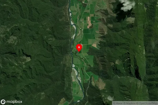
Locality in Town MurchisonSix Mile Suburb Map (Satellite)
Country
Main Region in AU
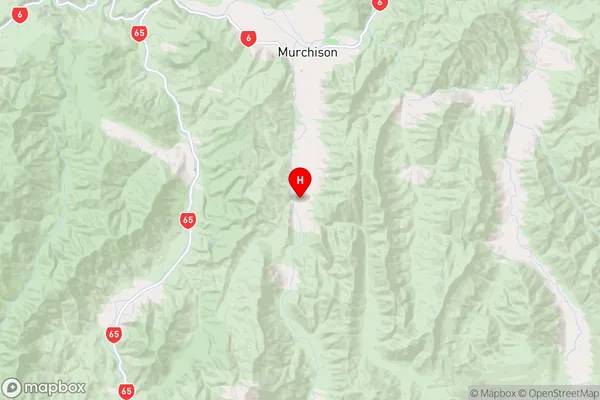
TasmanSix Mile Region Map
Coordinates
-41.8751682,172.3235178 (latitude/longitude)Distances
The distance from Six Mile, Murchison, Tasman District to NZ Top 10 Cities