Branxholme Area, Branxholme Postcode(9816) & Map in Branxholme
Branxholme Area, Branxholme Postcode(9816) & Map in Branxholme, Southland District, New Zealand
Branxholme, Southland District, New Zealand
Branxholme Postcodes
Branxholme Area (estimated)
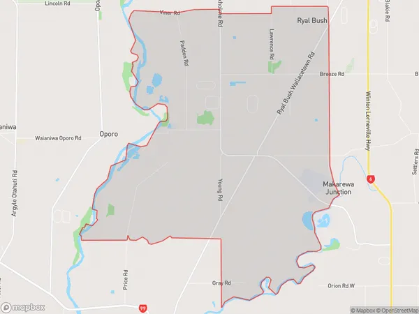
24.0 square kilometersBranxholme Population (estimated)
145 people live in Branxholme, Oreti Community, NZBranxholme Suburb Area Map (Polygon)
Branxholme Introduction
Branxholme is a small rural community in Southland, New Zealand, located on the banks of the Clutha River. It is known for its picturesque scenery, historic buildings, and friendly locals. The area is popular with tourists and outdoor enthusiasts, who enjoy activities such as hiking, fishing, and kayaking. Branxholme also has a primary school, a post office, and a small supermarket.Region
Major City
Suburb Name
BranxholmeOther Name(s)
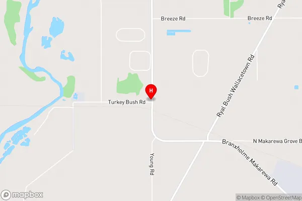
Makarewa Junction, Makarewa WestBranxholme Area Map (Street)
Local Authority
Southland DistrictFull Address
Branxholme, Southland District, New ZealandAddress Type
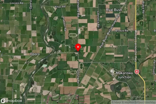
Locality in City InvercargillBranxholme Suburb Map (Satellite)
Country
Main Region in AU
SouthlandBranxholme Region Map

Coordinates
-46.2943046,168.3031225 (latitude/longitude)Distances
The distance from Branxholme, Invercargill, Southland District to NZ Top 10 Cities