Sibbald Area, Sibbald Postcode & Map in Sibbald
Sibbald Area, Sibbald Postcode & Map in Sibbald, Mackenzie District,
Sibbald, Mackenzie District,
Sibbald Area (estimated)
378.8 square kilometersSibbald Population (estimated)
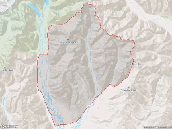
2 people live in Sibbald, Twizel, NZSibbald Suburb Area Map (Polygon)
Sibbald Introduction
Sibbald, Lake Tekapo, Canterbury, New Zealand, is a small, shallow lake with a circumference of 1.2 km and a depth of 3 m. It is known for its stunning turquoise color, which is caused by the presence of minerals such as calcium carbonate. The lake is surrounded by picturesque mountains and is a popular destination for tourists and outdoor enthusiasts.Region
Major City
Suburb Name
SibbaldSibbald Area Map (Street)
Local Authority
Mackenzie DistrictFull Address
Sibbald, Mackenzie District,Address Type
Locality in Major Locality Lake TekapoSibbald Suburb Map (Satellite)
Country
Main Region in AU
CanterburySibbald Region Map
Coordinates
0,0 (latitude/longitude)Distances
The distance from Sibbald, Lake Tekapo, Mackenzie District to NZ Top 10 Cities