Rosedale Area, Rosedale Postcode(9810) & Map in Rosedale
Rosedale Area, Rosedale Postcode(9810) & Map in Rosedale, Invercargill City, New Zealand
Rosedale, Invercargill City, New Zealand
Rosedale Postcodes
Rosedale Area (estimated)
1.0 square kilometersRosedale Population (estimated)
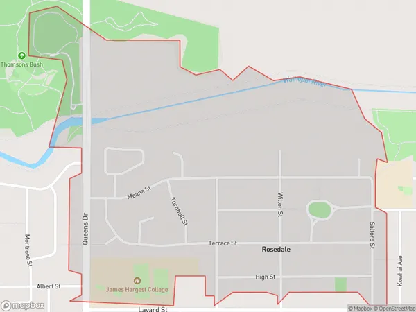
1064 people live in Rosedale, Invercargill City, NZRosedale Suburb Area Map (Polygon)
Rosedale Introduction
Rosedale is a small Southland town located on State Highway 6, 12 km south of Invercargill. It is known for its scenic surroundings, including the Rosedale Forest Park and the Rosedale River. The town has a population of around 1,200 people and is a popular destination for outdoor activities such as hiking, fishing, and hunting.Region
Major City
Suburb Name
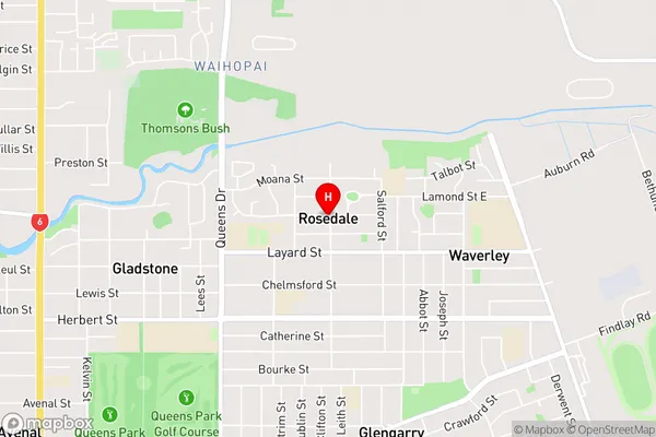
RosedaleRosedale Area Map (Street)
Local Authority
Invercargill CityFull Address
Rosedale, Invercargill City, New ZealandAddress Type
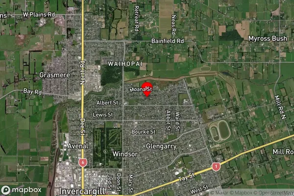
Suburb in City InvercargillRosedale Suburb Map (Satellite)
Country
Main Region in AU
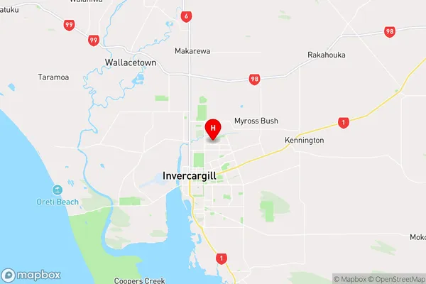
SouthlandRosedale Region Map
Coordinates
-46.3893306,168.3698756 (latitude/longitude)Distances
The distance from Rosedale, Invercargill, Invercargill City to NZ Top 10 Cities