Rockdale Area, Rockdale Postcode(9812) & Map in Rockdale
Rockdale Area, Rockdale Postcode(9812) & Map in Rockdale, Invercargill City, New Zealand
Rockdale, Invercargill City, New Zealand
Rockdale Postcodes
Rockdale Area (estimated)
2.5 square kilometersRockdale Population (estimated)
815 people live in Rockdale, Invercargill City, NZRockdale Suburb Area Map (Polygon)
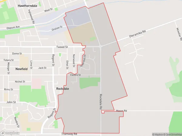
Rockdale Introduction
Rockdale is a suburb of Invercargill, Southland, New Zealand. It is located on the southern bank of the River Clutha, approximately 5 km from the city center. Rockdale has a population of around 3,500 people and is known for its historic homes and gardens. The suburb has a variety of shops, cafes, and recreational facilities, including a golf course and a swimming pool.Region
Major City
Suburb Name
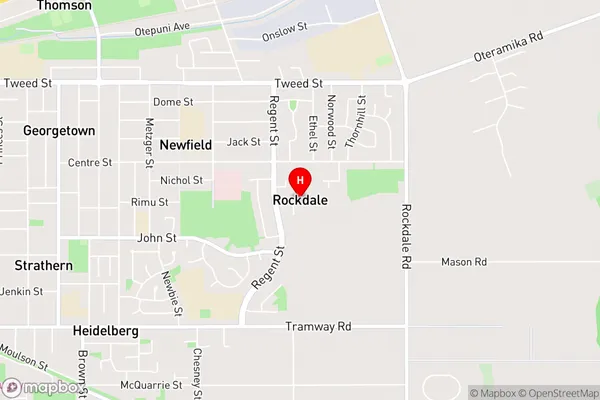
RockdaleRockdale Area Map (Street)
Local Authority
Invercargill CityFull Address
Rockdale, Invercargill City, New ZealandAddress Type
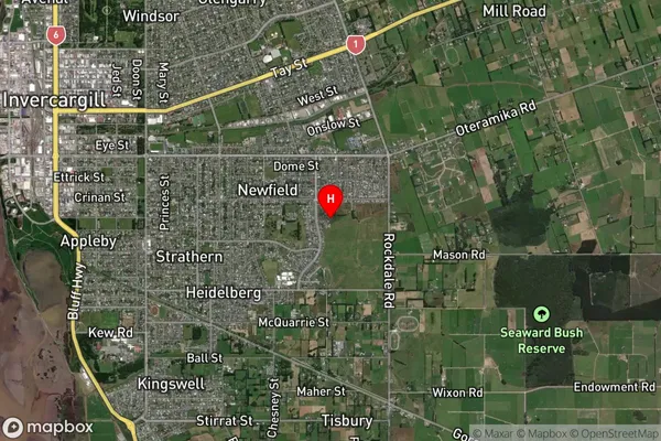
Suburb in City InvercargillRockdale Suburb Map (Satellite)
Country
Main Region in AU
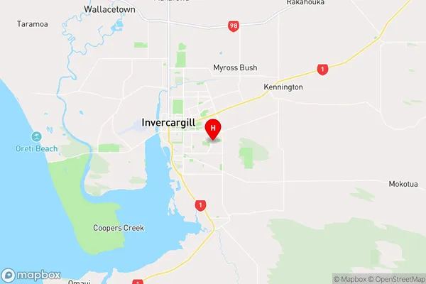
SouthlandRockdale Region Map
Coordinates
-46.42481,168.39018 (latitude/longitude)Distances
The distance from Rockdale, Invercargill, Invercargill City to NZ Top 10 Cities