Riverside Area, Riverside Postcode(0110) & Map in Riverside
Riverside Area, Riverside Postcode(0110) & Map in Riverside, Whangarei District, New Zealand
Riverside, Whangarei District, New Zealand
Riverside Area (estimated)
1.1 square kilometersRiverside Population (estimated)
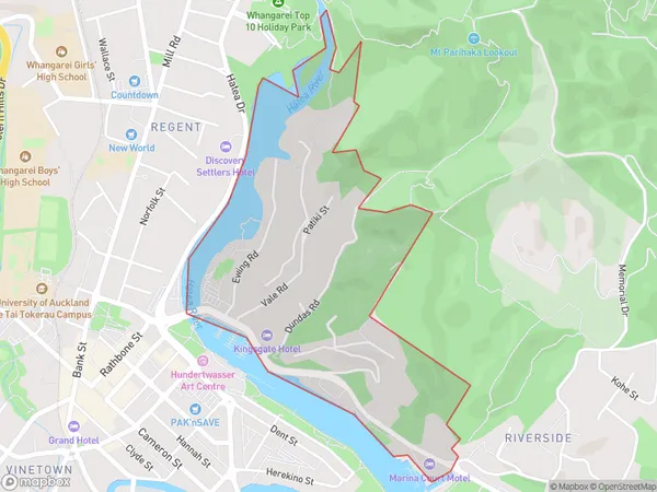
863 people live in Riverside, Whangārei, NZRiverside Suburb Area Map (Polygon)
Riverside Introduction
Riverside is a suburb of Whangarei, Northland, New Zealand. It is located on the banks of the Wangarei River, about 10 kilometers south of the city center. Riverside is a popular residential area with a variety of housing options, including apartments, townhouses, and standalone homes. The suburb has a community center, a library, and a supermarket. It is also home to several parks and recreational facilities, including a golf course and a swimming pool.Region
Major City
Suburb Name
RiversideOther Name(s)
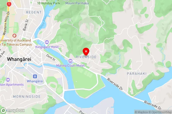
Whangarei CentralRiverside Area Map (Street)
Local Authority
Whangarei DistrictFull Address
Riverside, Whangarei District, New ZealandAddress Type
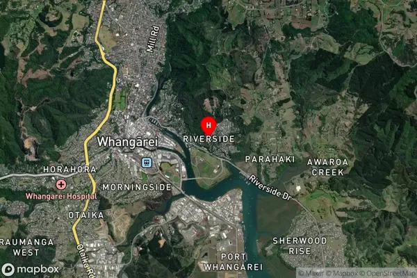
Suburb in City WhangareiRiverside Suburb Map (Satellite)
Country
Main Region in AU
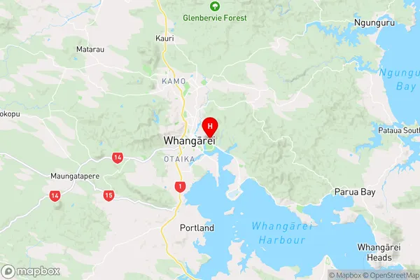
NorthlandRiverside Region Map
Coordinates
-35.7269871,174.3394572 (latitude/longitude)Distances
The distance from Riverside, Whangarei, Whangarei District to NZ Top 10 Cities