Riversdale Area, Riversdale Postcode(9744) & Map in Riversdale
Riversdale Area, Riversdale Postcode(9744) & Map in Riversdale, Southland District, New Zealand
Riversdale, Southland District, New Zealand
Riversdale Area (estimated)
88.6 square kilometersRiversdale Population (estimated)
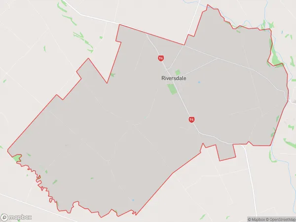
607 people live in Riversdale, Southland, NZRiversdale Suburb Area Map (Polygon)
Riversdale Introduction
Riversdale is a small rural town in Southland, New Zealand, located on the banks of the Mataura River. It is known for its scenic countryside, historic buildings, and friendly community. The town has a primary school, a post office, a supermarket, and a variety of recreational facilities, including a golf course and a sports stadium.Region
Major City
Suburb Name
RiversdaleOther Name(s)
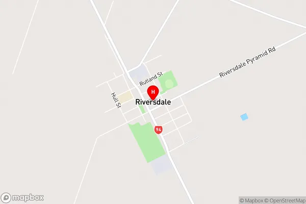
PyramidRiversdale Area Map (Street)
Local Authority
Southland DistrictFull Address
Riversdale, Southland District, New ZealandAddress Type
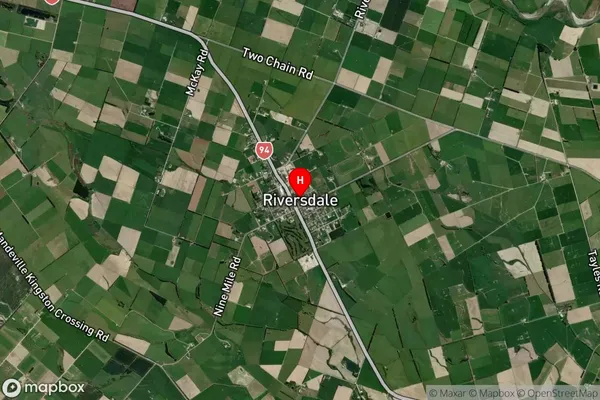
Locality in Town RiversdaleRiversdale Suburb Map (Satellite)
Country
Main Region in AU
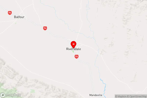
SouthlandRiversdale Region Map
Coordinates
-45.9013221,168.7437041 (latitude/longitude)Distances
The distance from Riversdale, Riversdale, Southland District to NZ Top 10 Cities