Rimu Area, Rimu Postcode(9871) & Map in Rimu
Rimu Area, Rimu Postcode(9871) & Map in Rimu, Southland District, New Zealand
Rimu, Southland District, New Zealand
Rimu Postcodes
Rimu Area (estimated)
10.2 square kilometersRimu Population (estimated)
91 people live in Rimu, Waihopai Toetoe Community, NZRimu Suburb Area Map (Polygon)
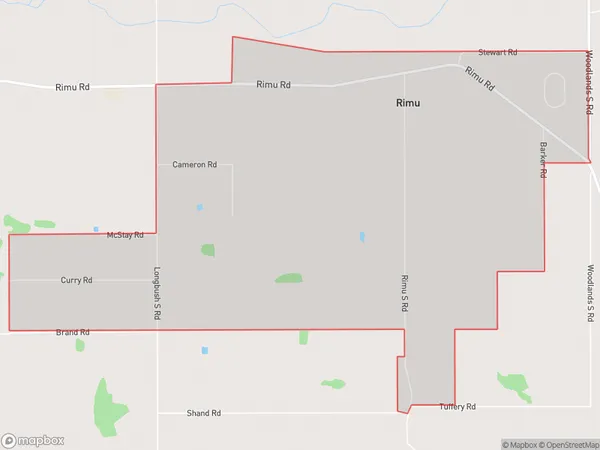
Rimu Introduction
Rimu is a small rural community in Southland, New Zealand, located on the banks of the Mataura River. It is known for its scenic surroundings, including the Rimu Forest and the surrounding mountains. The community has a primary school, a post office, and a small supermarket. Rimu is a popular destination for outdoor enthusiasts, with many hiking and biking trails in the area. The community also hosts the annual Rimu Festival, a celebration of the local Maori culture and heritage.Region
Major City
Suburb Name
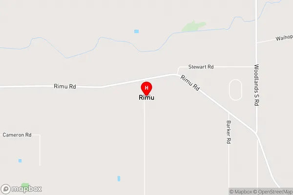
RimuRimu Area Map (Street)
Local Authority
Southland DistrictFull Address
Rimu, Southland District, New ZealandAddress Type
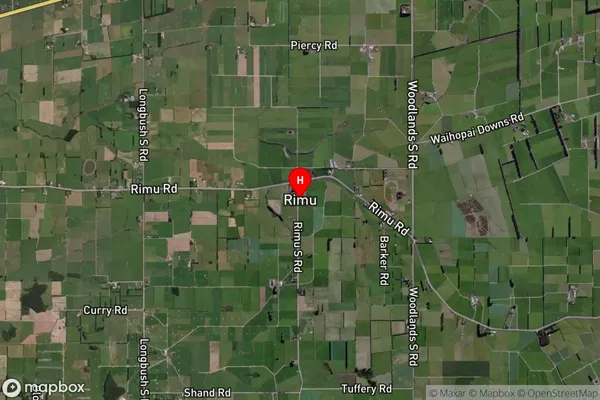
Locality in City InvercargillRimu Suburb Map (Satellite)
Country
Main Region in AU
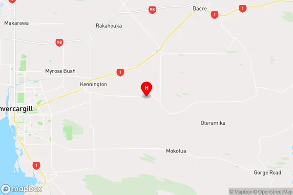
SouthlandRimu Region Map
Coordinates
-46.40095,168.5328 (latitude/longitude)Distances
The distance from Rimu, Invercargill, Southland District to NZ Top 10 Cities