Regent Area, Regent Postcode(0110) & Map in Regent
Regent Area, Regent Postcode(0110) & Map in Regent, Whangarei District, New Zealand
Regent, Whangarei District, New Zealand
Regent Area (estimated)
1.4 square kilometersRegent Population (estimated)
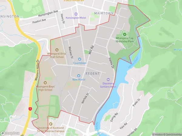
1822 people live in Regent, Whangārei, NZRegent Suburb Area Map (Polygon)
Regent Introduction
Whangarei is the largest city in Northland, New Zealand, and is known for its natural beauty, including the Bay of Islands and the surrounding forests. It is also home to a large population of Maori, the indigenous people of New Zealand. The city is located on the banks of the Wangarei River and is surrounded by hills and mountains. It is a popular destination for tourists and has a variety of attractions, including museums, galleries, and restaurants.Region
Major City
Suburb Name
RegentOther Name(s)
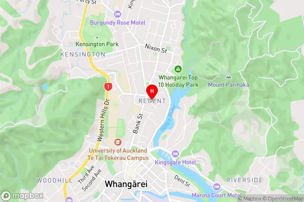
Mairtown, Whangarei CentralRegent Area Map (Street)
Local Authority
Whangarei DistrictFull Address
Regent, Whangarei District, New ZealandAddress Type
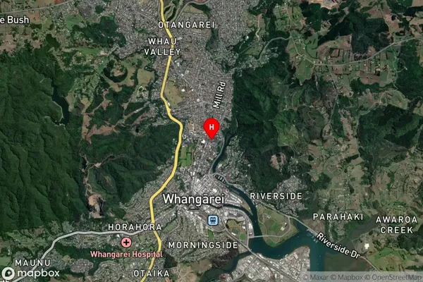
Suburb in City WhangareiRegent Suburb Map (Satellite)
Country
Main Region in AU
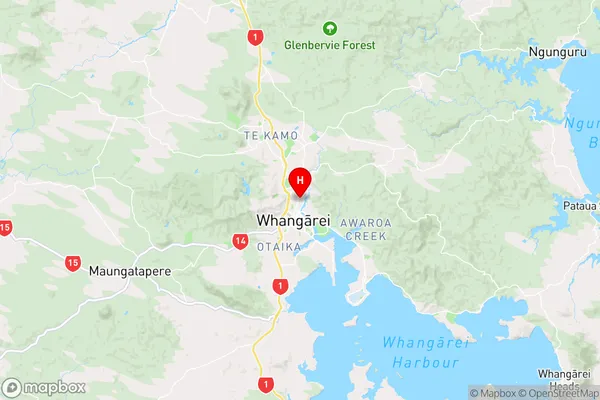
NorthlandRegent Region Map
Coordinates
-35.7160693,174.3238071 (latitude/longitude)Distances
The distance from Regent, Whangarei, Whangarei District to NZ Top 10 Cities