Rangitata Area, Rangitata Postcode(7940) & Map in Rangitata
Rangitata Area, Rangitata Postcode(7940) & Map in Rangitata, Timaru District, New Zealand
Rangitata, Timaru District, New Zealand
Rangitata Postcodes
Rangitata Area (estimated)
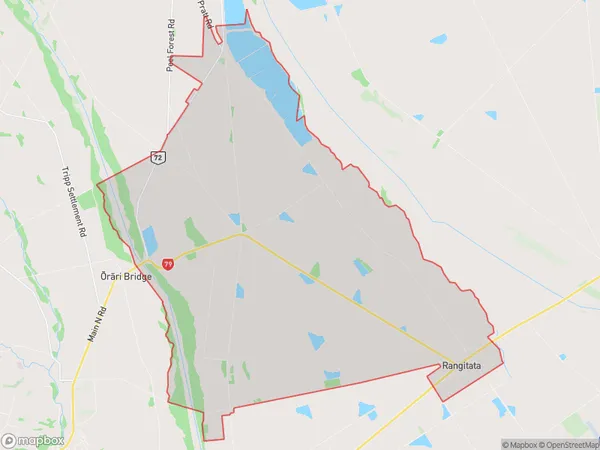
65.5 square kilometersRangitata Population (estimated)
184 people live in Rangitata, Canterbury, NZRangitata Suburb Area Map (Polygon)
Rangitata Introduction
Rangitata is a small rural town in the Canterbury region of New Zealand, located 12 kilometers south of Geraldine. It is known for its scenic views, fertile farmland, and historic buildings. The town has a population of around 1,000 people and is surrounded by picturesque countryside, including the Rangitata River and the Mount Grey Range. The area was first settled by European settlers in the 1860s and has since developed into a thriving agricultural community.Region
Major City
Suburb Name
RangitataOther Name(s)
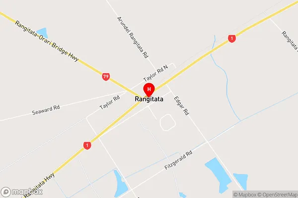
Coopers CreekRangitata Area Map (Street)
Local Authority
Timaru DistrictFull Address
Rangitata, Timaru District, New ZealandAddress Type
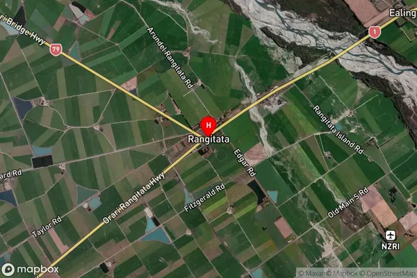
Locality in Town GeraldineRangitata Suburb Map (Satellite)
Country
Main Region in AU
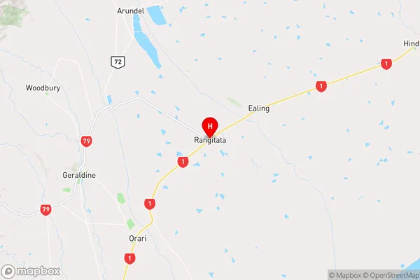
CanterburyRangitata Region Map
Coordinates
-44.0673083,171.3710264 (latitude/longitude)Distances
The distance from Rangitata, Geraldine, Timaru District to NZ Top 10 Cities