Puwera Area, Puwera Postcode(0178) & Map in Puwera
Puwera Area, Puwera Postcode(0178) & Map in Puwera, Whangarei District, New Zealand
Puwera, Whangarei District, New Zealand
Puwera Area (estimated)
2.8 square kilometersPuwera Population (estimated)
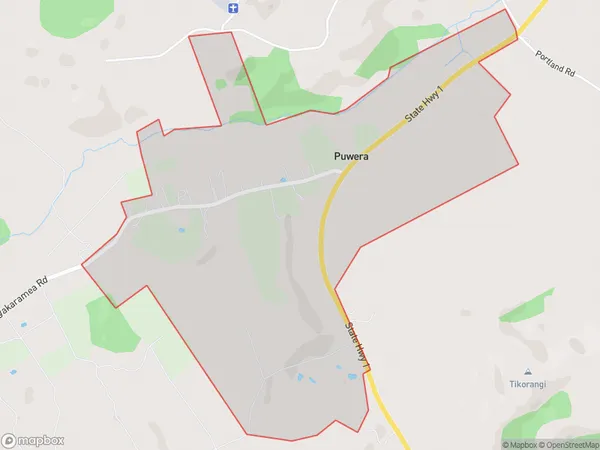
129 people live in Puwera, Whangārei, NZPuwera Suburb Area Map (Polygon)
Puwera Introduction
Puwera, also known as the Catlins, is a small coastal village in Northland, New Zealand. It is famous for its natural beauty, including waterfalls, caves, and marine wildlife. The village is also home to the Puwera Falls, one of New Zealand's tallest waterfalls. Visitors can explore the village's scenic walks, go fishing, or take a boat tour to see the falls from different angles.Region
Major City
Suburb Name
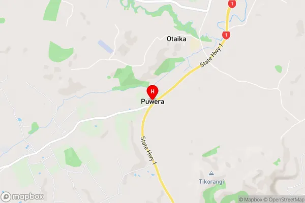
PuweraPuwera Area Map (Street)
Local Authority
Whangarei DistrictFull Address
Puwera, Whangarei District, New ZealandAddress Type
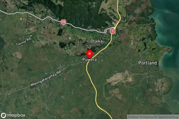
Suburb in City WhangareiPuwera Suburb Map (Satellite)
Country
Main Region in AU
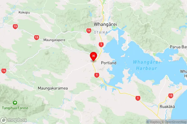
NorthlandPuwera Region Map
Coordinates
-35.7953636,174.2932892 (latitude/longitude)Distances
The distance from Puwera, Whangarei, Whangarei District to NZ Top 10 Cities