Purua Area, Purua Postcode & Map in Purua
Purua Area, Purua Postcode & Map in Purua, Whangarei District, New Zealand
Purua, Whangarei District, New Zealand
Purua Area (estimated)
101.5 square kilometersPurua Population (estimated)
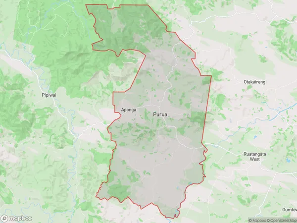
242 people live in Purua, Northland, NZPurua Suburb Area Map (Polygon)
Purua Introduction
Purua, also known as Whangarei Heads, is a picturesque coastal village located in Northland, New Zealand. It is situated at the tip of a long, narrow peninsula and surrounded by the stunning turquoise waters of the Bay of Islands. The village has a rich history and is known for its stunning natural beauty, including pristine beaches, lush forests, and breathtaking sunsets. Visitors can explore the historic Purua Lighthouse, visit the local museum, or take a boat tour to see the surrounding islands and marine life.Region
Major City
Suburb Name
PuruaOther Name(s)
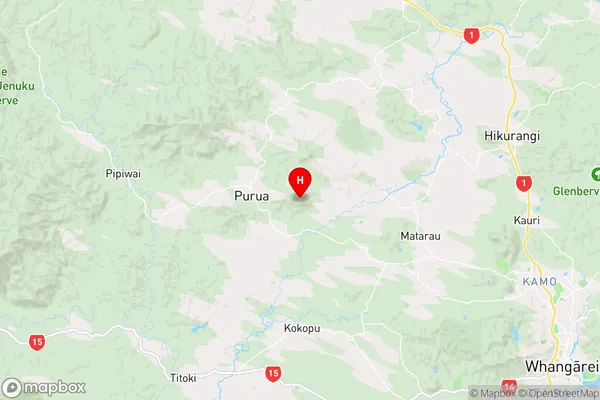
Aponga, Puroa, RuatangataPurua Area Map (Street)

Local Authority
Whangarei DistrictFull Address
Purua, Whangarei District, New ZealandAddress Type
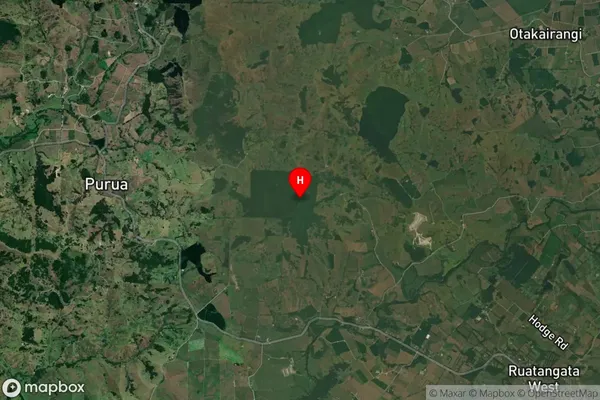
Locality in City WhangareiPurua Suburb Map (Satellite)
Country
Main Region in AU
NorthlandPurua Region Map
Coordinates
-35.634639,174.139278 (latitude/longitude)Distances
The distance from Purua, Whangarei, Whangarei District to NZ Top 10 Cities