Pukenui Forest Area, Pukenui Forest Postcode & Map in Pukenui Forest
Pukenui Forest Area, Pukenui Forest Postcode & Map in Pukenui Forest, Whangarei District, New Zealand
Pukenui Forest, Whangarei District, New Zealand
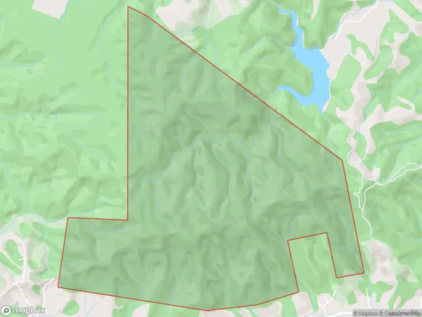
Pukenui Forest Area (estimated)
7.8 square kilometersPukenui Forest Population (estimated)
0 people live in Pukenui Forest, Whangārei, NZPukenui Forest Suburb Area Map (Polygon)
Pukenui Forest Introduction
Pukenui Forest is a large forest located in the Northland region of New Zealand. It is known for its scenic beauty, including waterfalls, native trees, and walking tracks. The forest is a popular destination for outdoor enthusiasts, including hikers, mountain bikers, and campers. It is also home to a variety of wildlife, including kauri trees, tui, and kea.Region
Major City
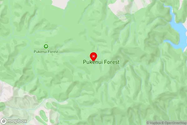
Suburb Name
Pukenui ForestPukenui Forest Area Map (Street)
Local Authority
Whangarei DistrictFull Address
Pukenui Forest, Whangarei District, New ZealandAddress Type
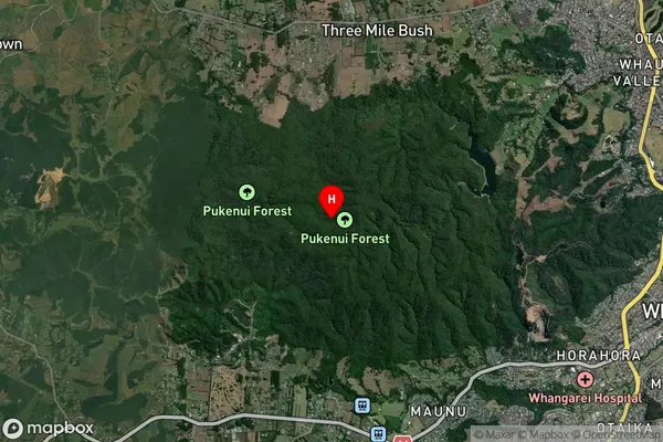
Suburb in City WhangareiPukenui Forest Suburb Map (Satellite)
Country
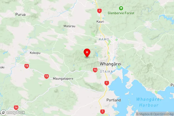
Main Region in AU
NorthlandPukenui Forest Region Map
Coordinates
-35.71612605,174.263658978311 (latitude/longitude)Distances
The distance from Pukenui Forest, Whangarei, Whangarei District to NZ Top 10 Cities