Pudding Hill Area, Pudding Hill Postcode & Map in Pudding Hill
Pudding Hill Area, Pudding Hill Postcode & Map in Pudding Hill, Ashburton District, New Zealand
Pudding Hill, Ashburton District, New Zealand
Pudding Hill Area (estimated)
33.8 square kilometersPudding Hill Population (estimated)
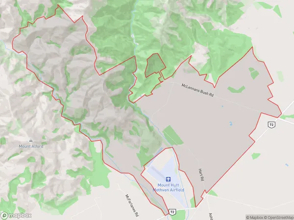
36 people live in Pudding Hill, Canterbury, NZPudding Hill Suburb Area Map (Polygon)
Pudding Hill Introduction
Pudding Hill is a historic area located in Methven, Canterbury, New Zealand. It is known for its picturesque gardens, scenic views, and historic buildings. The area was once the home of the wealthy Clarke family, and it is now a popular tourist destination. Pudding Hill is also home to a variety of wildlife, including deer, rabbits, and birds.Region
Major City
Suburb Name
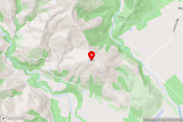
Pudding HillPudding Hill Area Map (Street)
Local Authority
Ashburton DistrictFull Address
Pudding Hill, Ashburton District, New ZealandAddress Type
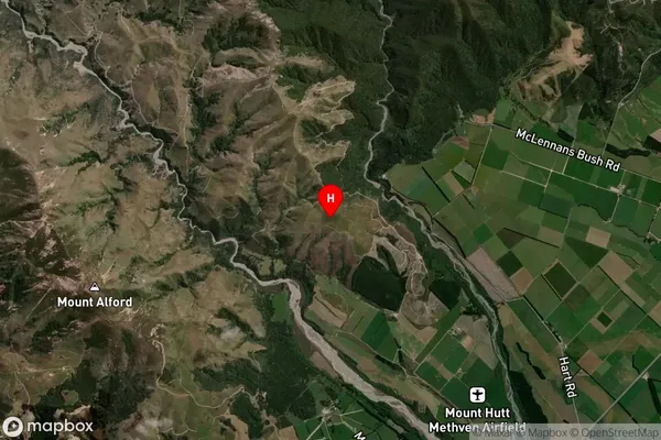
Locality in Town MethvenPudding Hill Suburb Map (Satellite)
Country
Main Region in AU
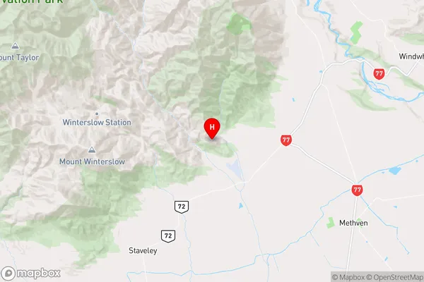
CanterburyPudding Hill Region Map
Coordinates
-43.574667,171.509833 (latitude/longitude)Distances
The distance from Pudding Hill, Methven, Ashburton District to NZ Top 10 Cities