Pleasant Valley Area, Pleasant Valley Postcode(7940) & Map in Pleasant Valley
Pleasant Valley Area, Pleasant Valley Postcode(7940) & Map in Pleasant Valley, Timaru District, New Zealand
Pleasant Valley, Timaru District, New Zealand
Pleasant Valley Postcodes
Pleasant Valley Area (estimated)
26.2 square kilometersPleasant Valley Population (estimated)
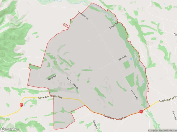
135 people live in Pleasant Valley, Canterbury, NZPleasant Valley Suburb Area Map (Polygon)
Pleasant Valley Introduction
Pleasant Valley is a rural community in Geraldine, Canterbury, New Zealand. It is located on the banks of the Pleasant Valley River and is known for its scenic countryside and peaceful atmosphere. The area has a variety of recreational facilities, including a golf course, a tennis court, and a swimming pool, and is home to a number of farms and businesses.Region
Major City
Suburb Name
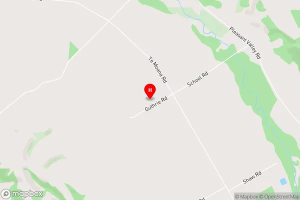
Pleasant ValleyPleasant Valley Area Map (Street)
Local Authority
Timaru DistrictFull Address
Pleasant Valley, Timaru District, New ZealandAddress Type
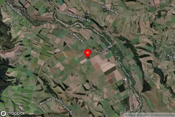
Locality in Town GeraldinePleasant Valley Suburb Map (Satellite)
Country
Main Region in AU
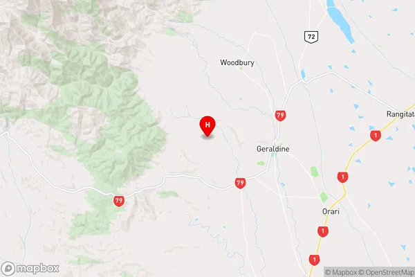
CanterburyPleasant Valley Region Map
Coordinates
-44.0846836,171.1776567 (latitude/longitude)Distances
The distance from Pleasant Valley, Geraldine, Timaru District to NZ Top 10 Cities