Pebbly Hill Area, Pebbly Hill Postcode & Map in Pebbly Hill
Pebbly Hill Area, Pebbly Hill Postcode & Map in Pebbly Hill, Southland District, New Zealand
Pebbly Hill, Southland District, New Zealand
Pebbly Hill Area (estimated)
86.4 square kilometersPebbly Hill Population (estimated)
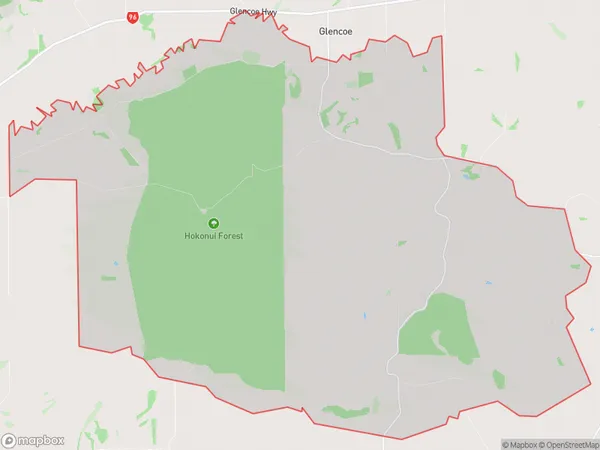
86 people live in Pebbly Hill, Oreti Community, NZPebbly Hill Suburb Area Map (Polygon)
Pebbly Hill Introduction
Pebbly Hill is a suburb of Invercargill, Southland, New Zealand. It is located on the southern side of the city, near the Invercargill Airport. The suburb has a variety of housing options, including single-family homes, apartments, and retirement villages. It is also home to a number of businesses and recreational facilities, including a golf course, a bowling club, and a swimming pool. Pebbly Hill is a popular area for both locals and tourists, with its close proximity to the city center and the stunning natural surroundings of the Southland region.Region
Major City
Suburb Name
Pebbly HillOther Name(s)
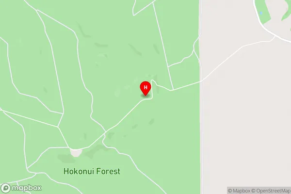
Pebbly HillsPebbly Hill Area Map (Street)
Local Authority
Southland DistrictFull Address
Pebbly Hill, Southland District, New ZealandAddress Type
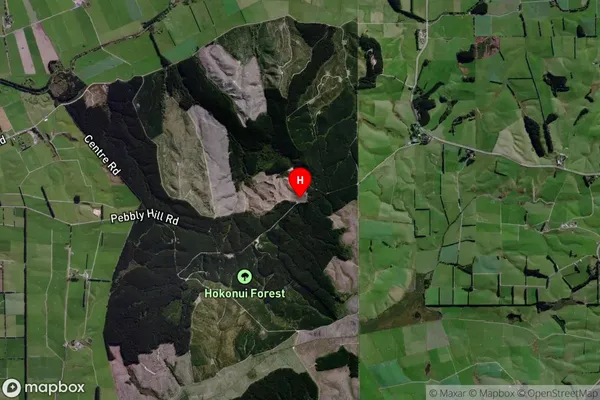
Locality in City InvercargillPebbly Hill Suburb Map (Satellite)
Country
Main Region in AU
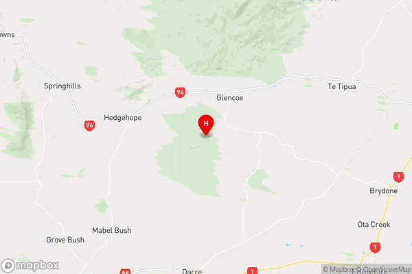
SouthlandPebbly Hill Region Map
Coordinates
-46.22085,168.62159 (latitude/longitude)Distances
The distance from Pebbly Hill, Invercargill, Southland District to NZ Top 10 Cities