Berhampore Area, Berhampore Postcode(6242) & Map in Berhampore
Berhampore Area, Berhampore Postcode(6242) & Map in Berhampore, Wellington City, New Zealand
Berhampore, Wellington City, New Zealand
Berhampore Area (estimated)
2.0 square kilometersBerhampore Population (estimated)
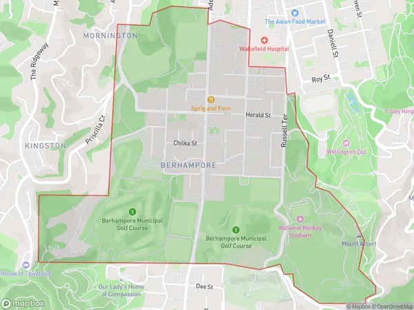
3965 people live in Berhampore, Wellington, NZBerhampore Suburb Area Map (Polygon)
Berhampore Introduction
Berhampore is a suburb of Wellington, New Zealand, located on the southern shore of the island. It is known for its historic architecture, including the former Government House and St. Patrick's Cathedral. The suburb is also home to a variety of shops, restaurants, and parks, making it a popular residential area.Region
Major City
Suburb Name
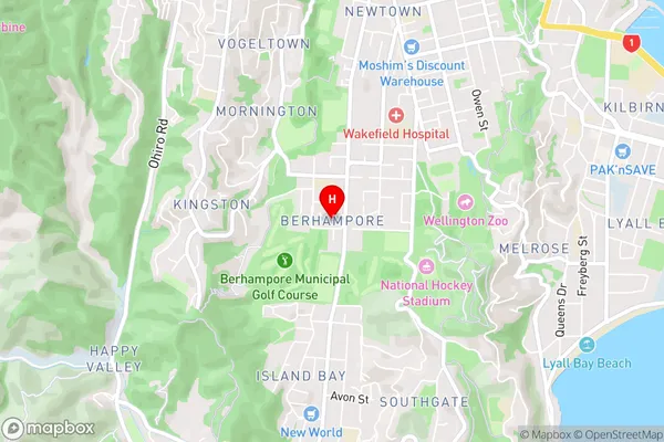
BerhamporeBerhampore Area Map (Street)
Local Authority
Wellington CityFull Address
Berhampore, Wellington City, New ZealandAddress Type
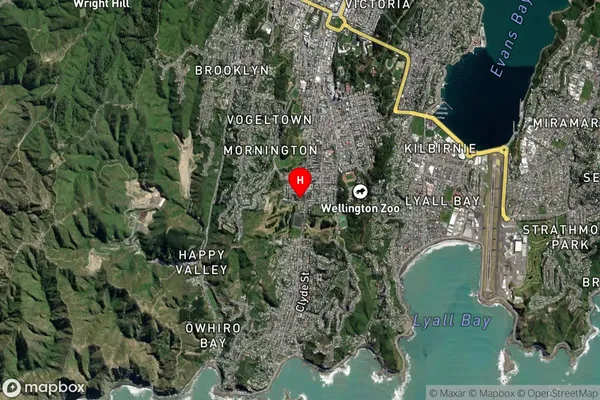
Suburb in City WellingtonBerhampore Suburb Map (Satellite)
Country
Main Region in AU
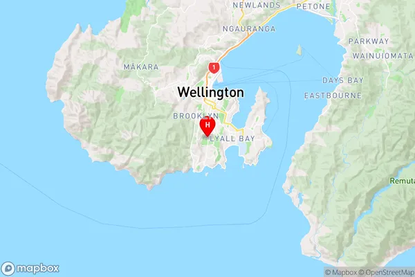
WellingtonBerhampore Region Map
Coordinates
-41.3232643,174.7740897 (latitude/longitude)Distances
The distance from Berhampore, Wellington, Wellington City to NZ Top 10 Cities