Otaraia Area, Otaraia Postcode(9710) & Map in Otaraia
Otaraia Area, Otaraia Postcode(9710) & Map in Otaraia, Gore District, New Zealand
Otaraia, Gore District, New Zealand
Otaraia Postcodes
Otaraia Area (estimated)
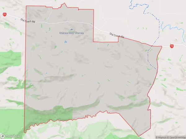
100.4 square kilometersOtaraia Population (estimated)
43 people live in Otaraia, Southland, NZOtaraia Suburb Area Map (Polygon)
Otaraia Introduction
Otaraia is a small rural community in Southland, New Zealand, located on State Highway 6 between Mataura and Gore. It is known for its scenic views, historic buildings, and friendly community. The area is home to a variety of wildlife, including deer, rabbits, and birds. Otaraia also has a primary school, a post office, and a community hall.Region
Major City
Suburb Name
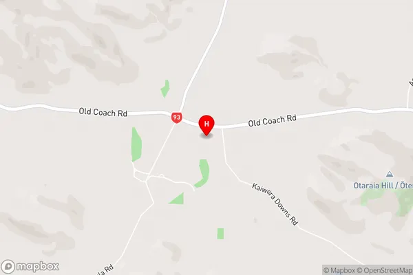
OtaraiaOtaraia Area Map (Street)
Local Authority
Gore DistrictFull Address
Otaraia, Gore District, New ZealandAddress Type
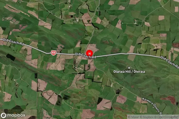
Locality in Town MatauraOtaraia Suburb Map (Satellite)
Country
Main Region in AU
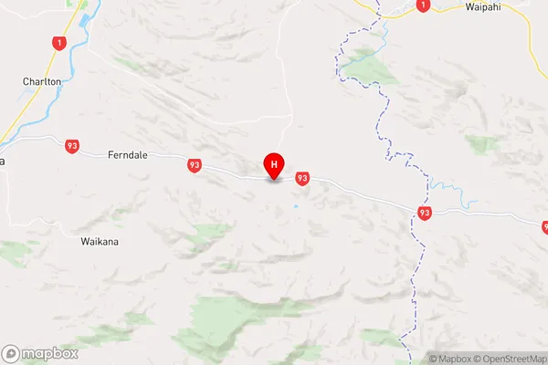
SouthlandOtaraia Region Map
Coordinates
-46.2040427,169.0827212 (latitude/longitude)Distances
The distance from Otaraia, Mataura, Gore District to NZ Top 10 Cities