Otahuti Area, Otahuti Postcode & Map in Otahuti
Otahuti Area, Otahuti Postcode & Map in Otahuti, Southland District, New Zealand
Otahuti, Southland District, New Zealand
Otahuti Area (estimated)
48.3 square kilometersOtahuti Population (estimated)
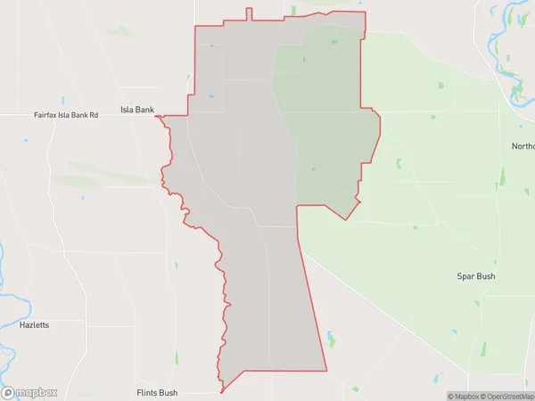
155 people live in Otahuti, Oreti Community, NZOtahuti Suburb Area Map (Polygon)
Otahuti Introduction
Otahuti is a small rural community in Southland, New Zealand, located on State Highway 6 between Invercargill and Te Anau. It is known for its scenic surroundings, including the Otahuti River and the Otahuti Mountains. The community has a primary school, a post office, and a small supermarket. Otahuti is also home to a number of historic buildings, including the Otahuti Hotel, which was built in 1886.Region
Major City
Suburb Name
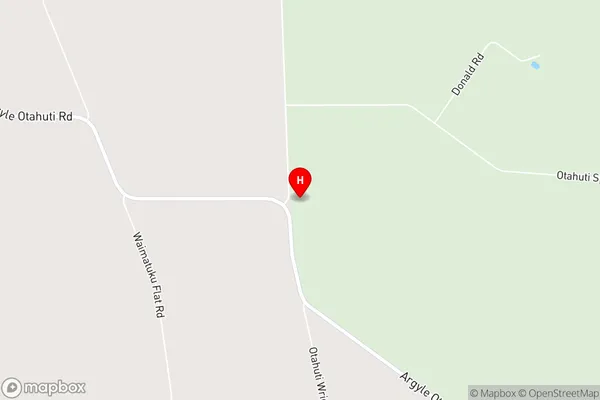
OtahutiOtahuti Area Map (Street)
Local Authority
Southland DistrictFull Address
Otahuti, Southland District, New ZealandAddress Type
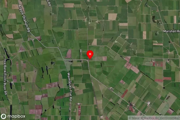
Locality in City InvercargillOtahuti Suburb Map (Satellite)
Country
Main Region in AU
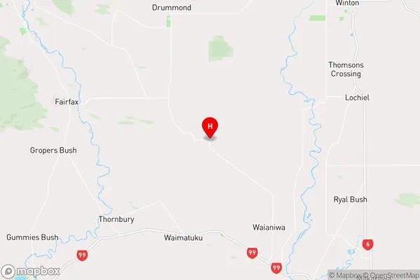
SouthlandOtahuti Region Map
Coordinates
-46.2347099,168.1892507 (latitude/longitude)Distances
The distance from Otahuti, Invercargill, Southland District to NZ Top 10 Cities