Orari Gorge Area, Orari Gorge Postcode & Map in Orari Gorge
Orari Gorge Area, Orari Gorge Postcode & Map in Orari Gorge, Timaru District,
Orari Gorge, Timaru District,
Orari Gorge Area (estimated)
87.8 square kilometersOrari Gorge Population (estimated)
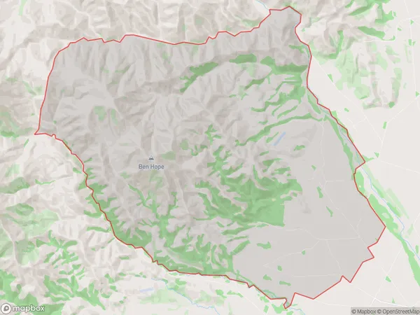
52 people live in Orari Gorge, Geraldine, NZOrari Gorge Suburb Area Map (Polygon)
Orari Gorge Introduction
Orari Gorge is a picturesque gorge located in the Southern Alps of New Zealand, near the town of Geraldine. It is known for its stunning natural beauty, including waterfalls, forests, and hiking trails. The gorge was formed by the Orari River and has a depth of approximately 100 meters. It is a popular destination for tourists and outdoor enthusiasts, with many opportunities for hiking, mountain biking, and picnicking.Region
Major City
Suburb Name
Orari GorgeOther Name(s)
Clayton, Tripp SettlementOrari Gorge Area Map (Street)
Local Authority
Timaru DistrictFull Address
Orari Gorge, Timaru District,Address Type
Locality in Town GeraldineOrari Gorge Suburb Map (Satellite)
Country
Main Region in AU
CanterburyOrari Gorge Region Map
Coordinates
0,0 (latitude/longitude)Distances
The distance from Orari Gorge, Geraldine, Timaru District to NZ Top 10 Cities