Oporo Area, Oporo Postcode(9874) & Map in Oporo
Oporo Area, Oporo Postcode(9874) & Map in Oporo, Southland District, New Zealand
Oporo, Southland District, New Zealand
Oporo Postcodes
Oporo Area (estimated)
12.3 square kilometersOporo Population (estimated)
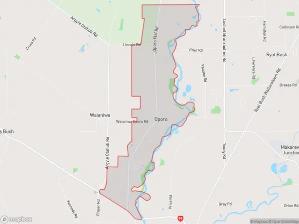
14 people live in Oporo, Oreti Community, NZOporo Suburb Area Map (Polygon)
Oporo Introduction
Oporo is a small rural community in Southland, New Zealand, located on the banks of the Oporo River. It is known for its scenic surroundings, including the Oporo Forest and the Oporo Mountains. The community has a primary school, a post office, and a small supermarket. It is a popular destination for outdoor enthusiasts, with many hiking and tramping tracks in the area.Region
Major City
Suburb Name
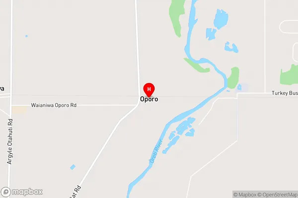
OporoOporo Area Map (Street)
Local Authority
Southland DistrictFull Address
Oporo, Southland District, New ZealandAddress Type
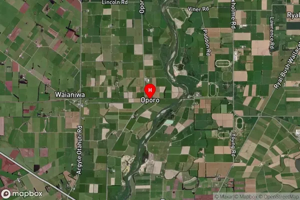
Locality in City InvercargillOporo Suburb Map (Satellite)
Country
Main Region in AU
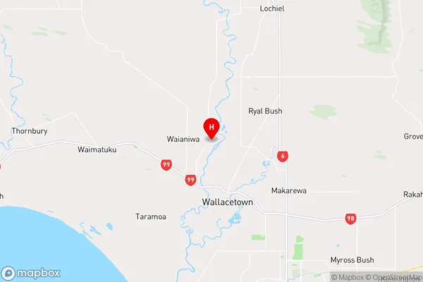
SouthlandOporo Region Map
Coordinates
-46.29521,168.27461 (latitude/longitude)Distances
The distance from Oporo, Invercargill, Southland District to NZ Top 10 Cities