Ohai Area, Ohai Postcode(9635) & Map in Ohai
Ohai Area, Ohai Postcode(9635) & Map in Ohai, Southland District, New Zealand
Ohai, Southland District, New Zealand
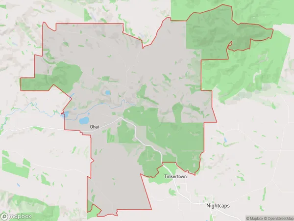
Ohai Area (estimated)
84.6 square kilometersOhai Population (estimated)
325 people live in Ohai, Wallace Takitimu Community, NZOhai Suburb Area Map (Polygon)
Ohai Introduction
Ohai, Ohai is a small town in Southland, New Zealand. It is located on the southern bank of the Ohai River and is surrounded by stunning natural scenery. The town has a population of around 100 people and is known for its friendly community and traditional Maori culture. The area is popular with tourists and outdoor enthusiasts, who enjoy activities such as hiking, fishing, and hunting.Region
Major City
Suburb Name
OhaiOther Name(s)
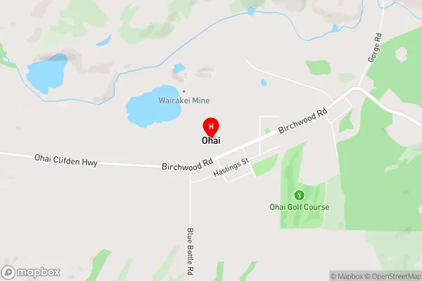
CrawfordsOhai Area Map (Street)
Local Authority
Southland DistrictFull Address
Ohai, Southland District, New ZealandAddress Type
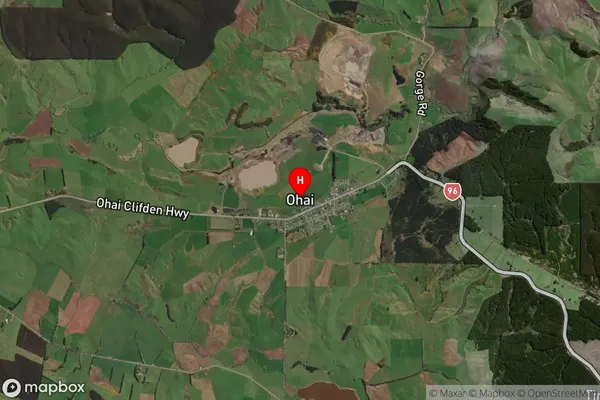
Suburb in Major Locality OhaiOhai Suburb Map (Satellite)
Country
Main Region in AU
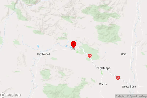
SouthlandOhai Region Map
Coordinates
-45.93266,167.9519 (latitude/longitude)Distances
The distance from Ohai, Ohai, Southland District to NZ Top 10 Cities