Northope Area, Northope Postcode & Map in Northope
Northope Area, Northope Postcode & Map in Northope, Southland District, New Zealand
Northope, Southland District, New Zealand
Northope Area (estimated)
40.0 square kilometersNorthope Population (estimated)
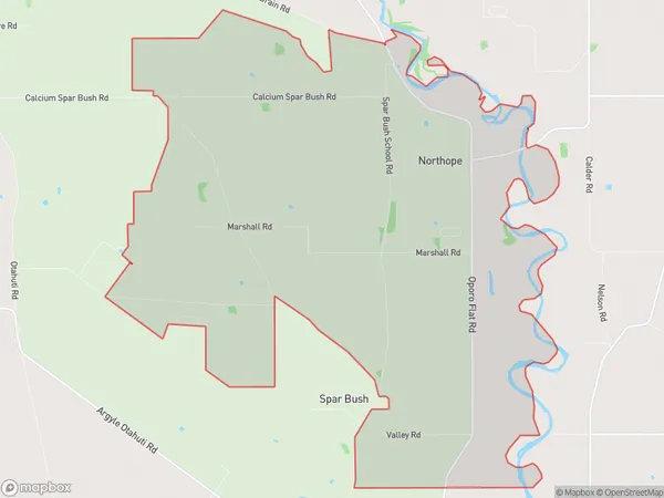
93 people live in Northope, Oreti Community, NZNorthope Suburb Area Map (Polygon)
Northope Introduction
Northope is a small rural community in Southland, New Zealand, located on the banks of the North Otago River. It is known for its scenic surroundings, including the North Otago Forest Park and the North Otago Goldfields. The community has a primary school, a post office, and a small supermarket. Northope is a popular destination for outdoor enthusiasts, with many opportunities for hiking, fishing, and hunting.Region
Major City
Suburb Name
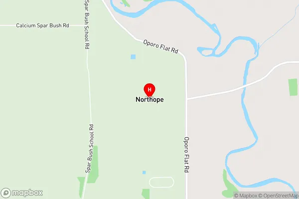
NorthopeNorthope Area Map (Street)
Local Authority
Southland DistrictFull Address
Northope, Southland District, New ZealandAddress Type
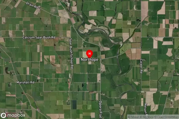
Locality in City InvercargillNorthope Suburb Map (Satellite)
Country
Main Region in AU
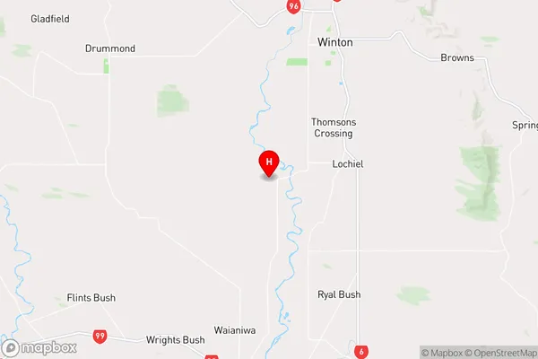
SouthlandNorthope Region Map
Coordinates
-46.21418,168.27325 (latitude/longitude)Distances
The distance from Northope, Invercargill, Southland District to NZ Top 10 Cities