Nine Mile Area, Nine Mile Postcode(7803) & Map in Nine Mile
Nine Mile Area, Nine Mile Postcode(7803) & Map in Nine Mile, Southland District,
Nine Mile, Southland District,
Nine Mile Postcodes
Nine Mile Area (estimated)
89.1 square kilometersNine Mile Population (estimated)
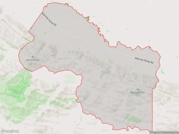
69 people live in Nine Mile, Gore, NZNine Mile Suburb Area Map (Polygon)
Nine Mile Introduction
Nine Mile is a small rural community in the Otago region of New Zealand, located approximately 20 kilometers south of Dunedin. It is known for its scenic surroundings, including the Nine Mile Stream and the surrounding hills. The community has a primary school, a post office, and a small supermarket. Nine Mile is a popular destination for outdoor enthusiasts, with many hiking and biking trails in the area.Region
Major City
Suburb Name
Nine MileNine Mile Area Map (Street)
Local Authority
Southland DistrictFull Address
Nine Mile, Southland District,Address Type
Locality in Town RiversdaleNine Mile Suburb Map (Satellite)
Country
Main Region in AU
OtagoNine Mile Region Map
Coordinates
0,0 (latitude/longitude)Distances
The distance from Nine Mile, Riversdale, Southland District to NZ Top 10 Cities