Nightcaps Area, Nightcaps Postcode(9630) & Map in Nightcaps
Nightcaps Area, Nightcaps Postcode(9630) & Map in Nightcaps, Southland District, New Zealand
Nightcaps, Southland District, New Zealand
Nightcaps Area (estimated)
6.8 square kilometersNightcaps Population (estimated)
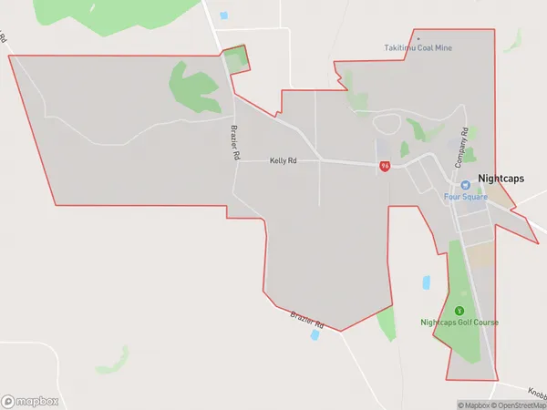
313 people live in Nightcaps, Wallace Takitimu Community, NZNightcaps Suburb Area Map (Polygon)
Nightcaps Introduction
Nightcaps is a small rural community in Southland, New Zealand, located in the Catlins District. It is known for its scenic beauty, with rolling hills, lush forests, and a picturesque river. The community has a population of around 100 people and is surrounded by farmland and native bush. Nightcaps is a popular destination for tourists who enjoy hiking, fishing, and wildlife watching. The area is also home to a number of historic buildings, including the Nightcaps Hotel, which was built in the 1880s.Region
Major City
Suburb Name
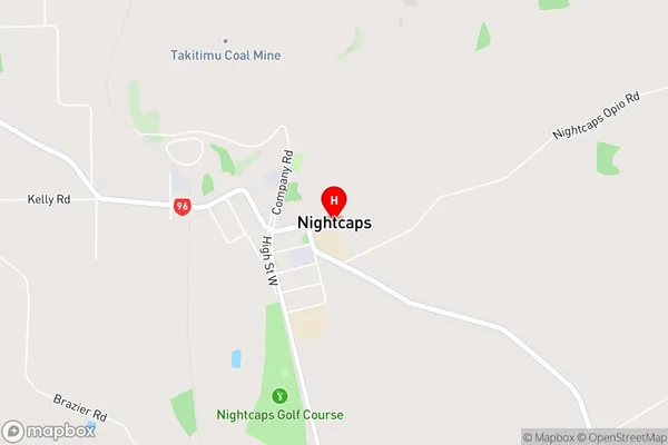
NightcapsNightcaps Area Map (Street)
Local Authority
Southland DistrictFull Address
Nightcaps, Southland District, New ZealandAddress Type
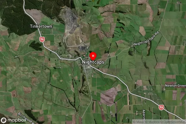
Suburb in Major Locality NightcapsNightcaps Suburb Map (Satellite)
Country
Main Region in AU
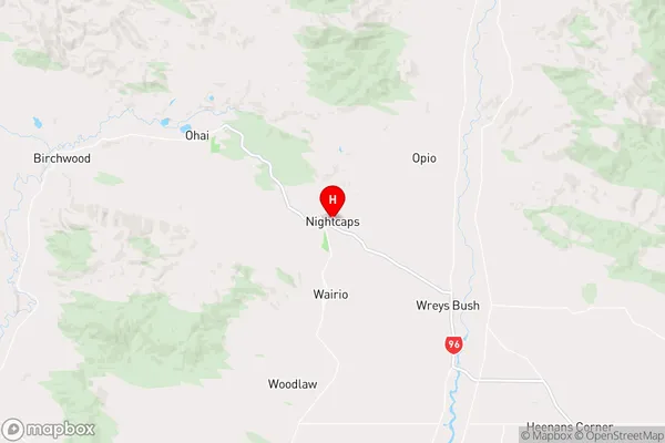
SouthlandNightcaps Region Map
Coordinates
-45.96974,168.03567 (latitude/longitude)Distances
The distance from Nightcaps, Nightcaps, Southland District to NZ Top 10 Cities