Ngauranga Area, Ngauranga Postcode(6022) & Map in Ngauranga
Ngauranga Area, Ngauranga Postcode(6022) & Map in Ngauranga, Wellington City, New Zealand
Ngauranga, Wellington City, New Zealand
Ngauranga Area (estimated)
2.6 square kilometersNgauranga Population (estimated)
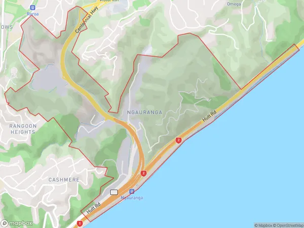
58 people live in Ngauranga, Wellington, NZNgauranga Suburb Area Map (Polygon)
Ngauranga Introduction
Ngauranga, Wellington, Wellington, NZ, is a suburb with a rich cultural heritage and a vibrant community. It is known for its beautiful parks, such as the Ngauranga Gorge, and its diverse range of ethnic restaurants and shops. The suburb is also home to several important historical sites, including the Te Papa Tongarewa Museum and the Old Government Buildings.Region
Major City
Suburb Name
NgaurangaOther Name(s)
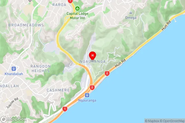
Ngaraunga GorgeNgauranga Area Map (Street)
Local Authority
Wellington CityFull Address
Ngauranga, Wellington City, New ZealandAddress Type
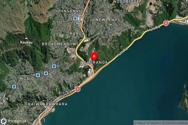
Suburb in City WellingtonNgauranga Suburb Map (Satellite)
Country
Main Region in AU
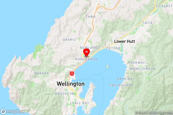
WellingtonNgauranga Region Map
Coordinates
-41.2415926,174.8150793 (latitude/longitude)Distances
The distance from Ngauranga, Wellington, Wellington City to NZ Top 10 Cities