Ngararatunua Area, Ngararatunua Postcode(0185) & Map in Ngararatunua
Ngararatunua Area, Ngararatunua Postcode(0185) & Map in Ngararatunua, Whangarei District, New Zealand
Ngararatunua, Whangarei District, New Zealand
Ngararatunua Postcodes
Ngararatunua Area (estimated)
12.8 square kilometersNgararatunua Population (estimated)
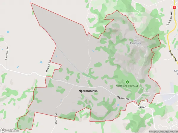
712 people live in Ngararatunua, Whangārei, NZNgararatunua Suburb Area Map (Polygon)
Ngararatunua Introduction
Ngararatunua, also known as the "Rock of Gibraltar," is a volcanic cone located in Whangarei, Northland, New Zealand. It is a popular tourist destination and a sacred site for the local Maori people. The cone rises to a height of 356 meters and is surrounded by a picturesque coastal walkway. The area offers stunning views of the surrounding landscape, including the Bay of Islands and the Northland coastline.Region
Major City
Suburb Name
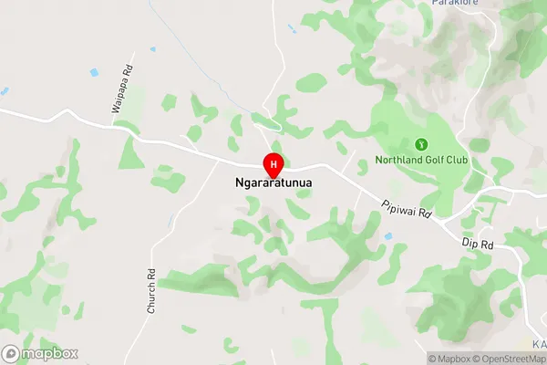
NgararatunuaNgararatunua Area Map (Street)
Local Authority
Whangarei DistrictFull Address
Ngararatunua, Whangarei District, New ZealandAddress Type
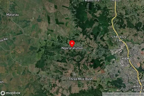
Locality in City WhangareiNgararatunua Suburb Map (Satellite)
Country
Main Region in AU
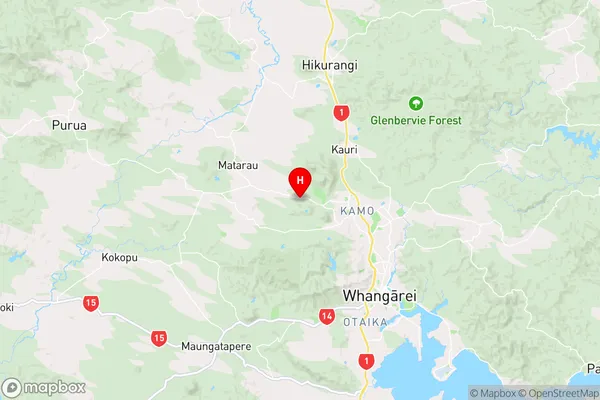
NorthlandNgararatunua Region Map
Coordinates
-35.6741078,174.2645547 (latitude/longitude)Distances
The distance from Ngararatunua, Whangarei, Whangarei District to NZ Top 10 Cities