Myross Bush Area, Myross Bush Postcode(9872) & Map in Myross Bush
Myross Bush Area, Myross Bush Postcode(9872) & Map in Myross Bush, Invercargill City, New Zealand
Myross Bush, Invercargill City, New Zealand
Myross Bush Postcodes
Myross Bush Area (estimated)
10.5 square kilometersMyross Bush Population (estimated)
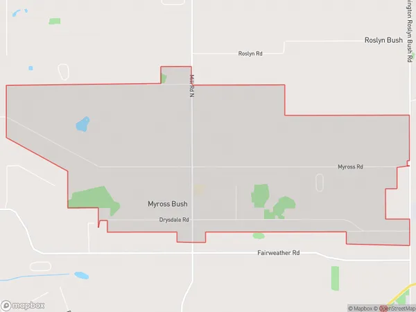
497 people live in Myross Bush, Invercargill City, NZMyross Bush Suburb Area Map (Polygon)
Myross Bush Introduction
Myross Bush is a large area of native forest in Invercargill, Southland, New Zealand. It is home to a variety of plant and animal species, including some rare and endangered species. The bush is also a popular recreational spot for locals and tourists, with many walking and hiking trails. The forest was established in the 1870s and is now managed by the Department of Conservation.Region
Major City
Suburb Name
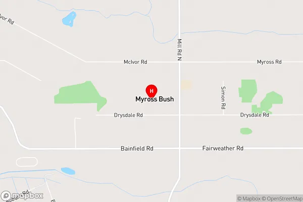
Myross BushMyross Bush Area Map (Street)
Local Authority
Invercargill CityFull Address
Myross Bush, Invercargill City, New ZealandAddress Type
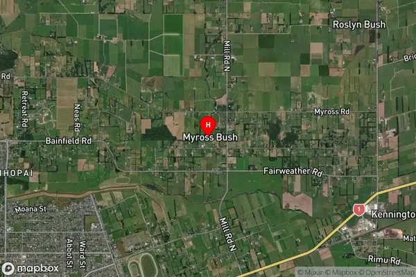
Locality in City InvercargillMyross Bush Suburb Map (Satellite)
Country
Main Region in AU
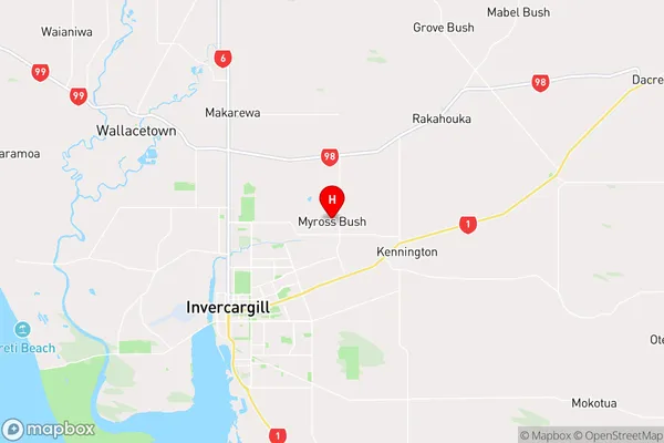
SouthlandMyross Bush Region Map
Coordinates
-46.3751564,168.4116303 (latitude/longitude)Distances
The distance from Myross Bush, Invercargill, Invercargill City to NZ Top 10 Cities