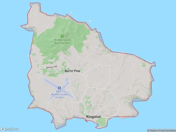
Norfolk Island Suburbs & Region, Norfolk Island Map & Postcodes
Norfolk Island Suburbs & Region, Norfolk Island Map & Postcodes in Norfolk Island, Other Territories, AU
Norfolk Island Region
Region Name
Norfolk Island (, AU)Norfolk Island Area
38.65 square kilometers (38.65 ㎢)Norfolk Island Introduction
Norfolk Island is an island country in the Pacific Ocean, located between Australia, New Zealand, and New Caledonia. It is a self-governing territory of Australia and is known for its beautiful beaches, lush green landscapes, and unique culture. Norfolk Island has a population of around 2,400 people and is home to a variety of wildlife, including birds, bats, and seals. The island is also famous for its annual Norfolk Island Festival, which includes parades, music, and dancing.Australia State
City or Big Region
Greater Capital City
Other Territories (9OTER)District or Regional Area
Norfolk Island Suburbs
Norfolk Island full address
Norfolk Island, Other Territories, Australia, SaCode: 90104Country
Norfolk Island, Other Territories, Australia, SaCode: 90104
Norfolk Island Suburbs & Region, Norfolk Island Map & Postcodes has 0 areas or regions above, and there are 0 Norfolk Island suburbs below. The sa3code for the Norfolk Island region is 90104. Norfolk Island area belongs to Australia's greater capital city Other Territories.
