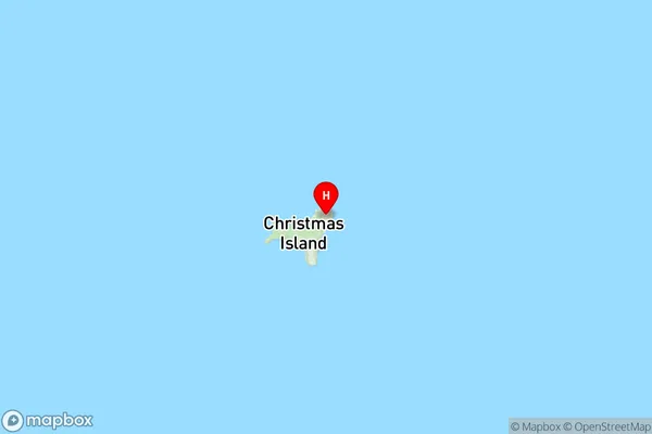
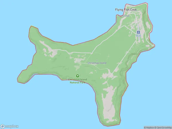
Christmas Island Suburbs & Region, Christmas Island Map & Postcodes
Christmas Island Suburbs & Region, Christmas Island Map & Postcodes in Christmas Island, Other Territories, AU
Christmas Island Region
Region Name
Christmas Island (, AU)Christmas Island Area
136.14 square kilometers (136.14 ㎢)Postal Codes
6798 (In total, there are 1 postcodes in Christmas Island.)Christmas Island Introduction
Christmas Island is an Australian territory in the Indian Ocean, located 1,400 kilometers (870 miles) north of Perth, Western Australia. It is the largest island in the Indian Ocean and is part of the Christmas Island Group. The island is known for its unique wildlife, including red crabs and green turtles. The population of Christmas Island is approximately 1,500 people, and the island has a rich cultural heritage, with many traditional languages and customs still practiced. The island is also a popular destination for tourists, who come to see the unique wildlife and explore the island's many beaches and hiking trails.Australia State
City or Big Region
District or Regional Area
Christmas Island Region Map

Christmas Island Postcodes / Zip Codes
Christmas Island Suburbs
Christmas Island
Christmas Island full address
Christmas Island, Other Territories, Australia, SaCode: 90101Country
Christmas Island, Other Territories, Australia, SaCode: 90101
Christmas Island Suburbs & Region, Christmas Island Map & Postcodes has 1 areas or regions above, and there are 1 Christmas Island suburbs below. The sa3code for the Christmas Island region is 90101. Its latitude and longitude coordinates are -10.4475,105.69.
Christmas Island Suburbs & Localities
1. Christmas Island
