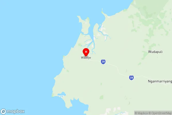
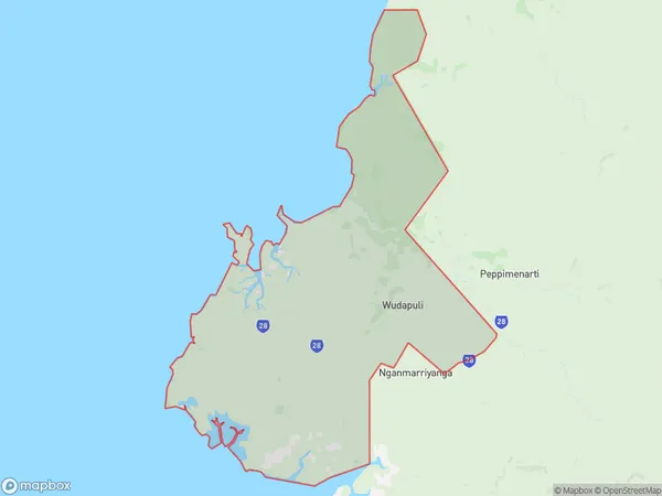
Thamarrurr Suburbs & Region, Thamarrurr Map & Postcodes
Thamarrurr Suburbs & Region, Thamarrurr Map & Postcodes in Thamarrurr, Katherine, Northern Territory Outback, NT, AU
Thamarrurr Region
Region Name
Thamarrurr (NT, AU)Thamarrurr Area
3374 square kilometers (3,374 ㎢)Thamarrurr Introduction
Thamarrurr is a small Aboriginal community in the Northern Territory of Australia, located approximately 160 kilometers south of Darwin. It is situated on the banks of the Mary River and is home to around 300 people of the Murrinh-patha and Yolngu peoples. The community is known for its traditional culture, which includes painting, weaving, and storytelling. The town also has a primary school and a health clinic, and there are several tourist attractions nearby, including the Mary River National Park and the Arnhem Land Rock Art Gallery.Australia State
City or Big Region
Greater Capital City
Rest of NT (7RNTE)District or Regional Area
Suburb Name
Thamarrurr Region Map

Thamarrurr Suburbs
Thamarrurr full address
Thamarrurr, Katherine, Northern Territory Outback, Northern Territory, NT, Australia, SaCode: 702031059Country
Thamarrurr, Katherine, Northern Territory Outback, Northern Territory, NT, Australia, SaCode: 702031059
Thamarrurr Suburbs & Region, Thamarrurr Map & Postcodes has 0 areas or regions above, and there are 0 Thamarrurr suburbs below. The sa2code for the Thamarrurr region is 702031059. Its latitude and longitude coordinates are -14.2408,129.521. Thamarrurr area belongs to Australia's greater capital city Rest of NT.
