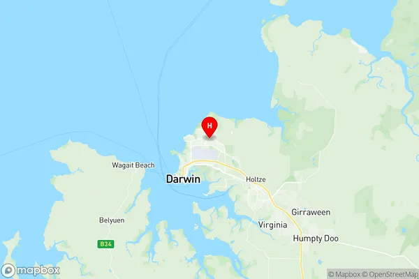
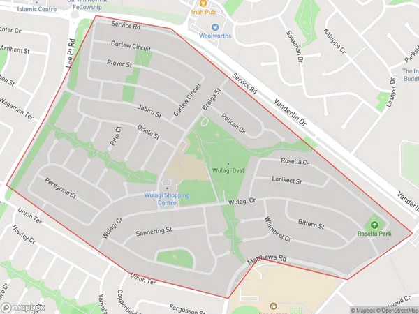
Wulagi Suburbs & Region, Wulagi Map & Postcodes
Wulagi Suburbs & Region, Wulagi Map & Postcodes in Wulagi, Darwin Suburbs, Darwin, NT, AU
Wulagi Region
Region Name
Wulagi (NT, AU)Wulagi Area
1.26 square kilometers (1.26 ㎢)Postal Codes
0812 (In total, there are 1 postcodes in Wulagi.)Wulagi Introduction
Wulagi is a small coastal town in the Northern Territory of Australia, located about 125 miles northeast of Darwin. It is situated on the banks of the Mary River and is known for its beautiful beaches, lush tropical rainforests, and vibrant cultural heritage. The town has a population of around 2,000 people and is home to the Wulagi people, who are the traditional owners of the land. Wulagi is a popular destination for tourists and has a range of accommodation options, including hotels, resorts, and camping grounds. The town is also home to a number of cultural attractions, including the Wulagi Museum and the Wulagi National Park, which showcases the traditional art and culture of the Wulagi people.Australia State
City or Big Region
Greater Capital City
Greater Darwin (7GDAR)District or Regional Area
Suburb Name
Wulagi Region Map

Wulagi Postcodes / Zip Codes
Wulagi Suburbs
Wulagi full address
Wulagi, Darwin Suburbs, Darwin, Northern Territory, NT, Australia, SaCode: 701021030Country
Wulagi, Darwin Suburbs, Darwin, Northern Territory, NT, Australia, SaCode: 701021030
Wulagi Suburbs & Region, Wulagi Map & Postcodes has 0 areas or regions above, and there are 1 Wulagi suburbs below. The sa2code for the Wulagi region is 701021030. Its latitude and longitude coordinates are -12.3844,130.893. Wulagi area belongs to Australia's greater capital city Greater Darwin.
Wulagi Suburbs & Localities
1. Wulagi
