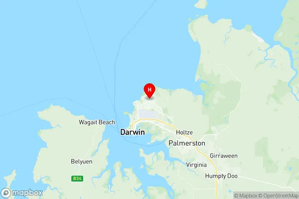
Wanguri Suburbs & Region, Wanguri Map & Postcodes
Wanguri Suburbs & Region, Wanguri Map & Postcodes in Wanguri, Darwin Suburbs, Darwin, NT, AU
Wanguri Region
Region Name
Wanguri (NT, AU)Wanguri Area
0.89 square kilometers (0.89 ㎢)Postal Codes
0810 (In total, there are 1 postcodes in Wanguri.)Wanguri Introduction
Wanguri is a locality in the Northern Territory of Australia. It is one of the major communities of the Wanguri people. The town is located about 125 km south of Darwin and 10 km east of the Stuart Highway. Wanguri has a population of around 2,000 people and is known for its traditional Aboriginal culture and stunning natural scenery. The town is also home to the Wanguri Waterhole, a popular swimming and fishing spot. The Wanguri people have a strong connection to their land and culture, and the town has a number of cultural institutions and landmarks, including the Wanguri Cultural Centre and the Wanguri Walkabout.Australia State
City or Big Region
Greater Capital City
Greater Darwin (7GDAR)District or Regional Area
Suburb Name
Wanguri Region Map

Wanguri Postcodes / Zip Codes
Wanguri Suburbs
Wanguri full address
Wanguri, Darwin Suburbs, Darwin, Northern Territory, NT, Australia, SaCode: 701021029Country
Wanguri, Darwin Suburbs, Darwin, Northern Territory, NT, Australia, SaCode: 701021029
Wanguri Suburbs & Region, Wanguri Map & Postcodes has 0 areas or regions above, and there are 1 Wanguri suburbs below. The sa2code for the Wanguri region is 701021029. Its latitude and longitude coordinates are -12.3725,130.888. Wanguri area belongs to Australia's greater capital city Greater Darwin.
Wanguri Suburbs & Localities
1. Wanguri
