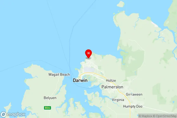
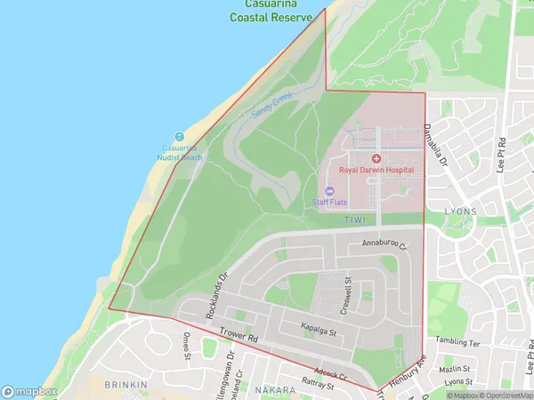
Tiwi Suburbs & Region, Tiwi Map & Postcodes
Tiwi Suburbs & Region, Tiwi Map & Postcodes in Tiwi, Darwin Suburbs, Darwin, NT, AU
Tiwi Region
Region Name
Tiwi (NT, AU)Tiwi Area
3.12 square kilometers (3.12 ㎢)Postal Codes
0810 (In total, there are 1 postcodes in Tiwi.)Tiwi Introduction
Tiwi is an island in the Northern Territory of Australia. It is located in the Timor Sea, about 250 kilometers northeast of Darwin. The island is home to the Tiwi people, who are the traditional owners of the land. Tiwi is known for its unique culture, which includes traditional art, music, and dance. The island has a population of around 2,500 people and is surrounded by beautiful beaches and coral reefs. The Tiwi people are renowned for their strong cultural identity and their resistance to colonialism. The island has a rich history and is home to several important archaeological sites. Tiwi is also a popular tourist destination, with visitors coming to see the unique culture and natural beauty of the island.Australia State
City or Big Region
Greater Capital City
Greater Darwin (7GDAR)District or Regional Area
Suburb Name
Tiwi Region Map

Tiwi Postcodes / Zip Codes
Tiwi Suburbs
Tiwi full address
Tiwi, Darwin Suburbs, Darwin, Northern Territory, NT, Australia, SaCode: 701021027Country
Tiwi, Darwin Suburbs, Darwin, Northern Territory, NT, Australia, SaCode: 701021027
Tiwi Suburbs & Region, Tiwi Map & Postcodes has 0 areas or regions above, and there are 1 Tiwi suburbs below. The sa2code for the Tiwi region is 701021027. Its latitude and longitude coordinates are -12.3633,130.88. Tiwi area belongs to Australia's greater capital city Greater Darwin.
Tiwi Suburbs & Localities
1. Tiwi
