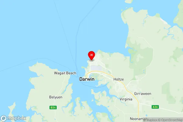
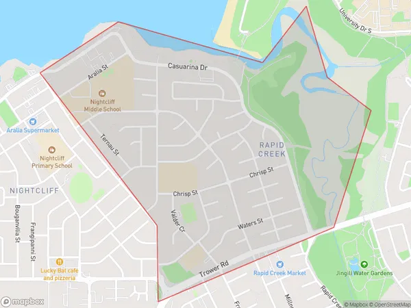
Rapid Creek Suburbs & Region, Rapid Creek Map & Postcodes
Rapid Creek Suburbs & Region, Rapid Creek Map & Postcodes in Rapid Creek, Darwin Suburbs, Darwin, NT, AU
Rapid Creek Region
Region Name
Rapid Creek (NT, AU)Rapid Creek Area
1.92 square kilometers (1.92 ㎢)Postal Codes
0810 (In total, there are 1 postcodes in Rapid Creek.)Rapid Creek Introduction
Rapid Creek is a suburb of Darwin, Northern Territory, Australia. It is located in the city's northern suburbs and is bordered by the Stuart Highway to the north, the Mary River to the east, and the Casuarina Coastal Reserve to the south. Rapid Creek is a popular residential area due to its proximity to the city center, its affordable housing, and its range of amenities. The suburb has a number of schools, including Rapid Creek Primary School, Rapid Creek Secondary School, and St John's Catholic College. It also has a number of parks and recreational facilities, including Rapid Creek Reserve, which has a swimming pool, tennis courts, and a basketball court.Australia State
City or Big Region
Greater Capital City
Greater Darwin (7GDAR)District or Regional Area
Suburb Name
Rapid Creek Region Map

Rapid Creek Postcodes / Zip Codes
Rapid Creek Suburbs
Rapid Creek full address
Rapid Creek, Darwin Suburbs, Darwin, Northern Territory, NT, Australia, SaCode: 701021026Country
Rapid Creek, Darwin Suburbs, Darwin, Northern Territory, NT, Australia, SaCode: 701021026
Rapid Creek Suburbs & Region, Rapid Creek Map & Postcodes has 0 areas or regions above, and there are 1 Rapid Creek suburbs below. The sa2code for the Rapid Creek region is 701021026. Its latitude and longitude coordinates are -12.3808,130.862. Rapid Creek area belongs to Australia's greater capital city Greater Darwin.
Rapid Creek Suburbs & Localities
1. Rapid Creek
