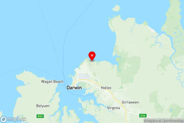
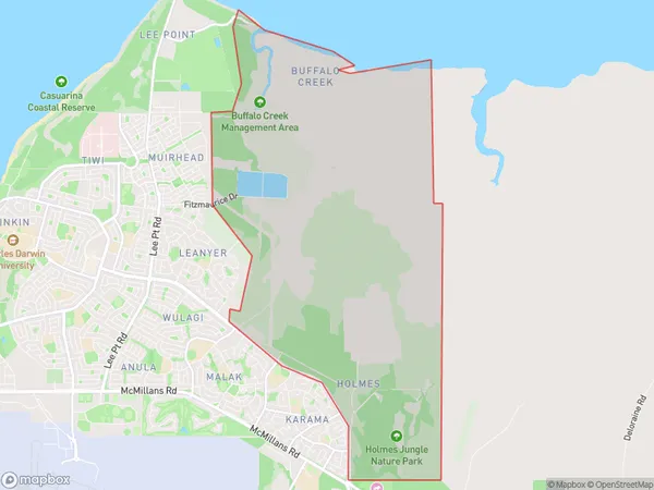
Buffalo Creek Suburbs & Region, Buffalo Creek Map & Postcodes
Buffalo Creek Suburbs & Region, Buffalo Creek Map & Postcodes in Buffalo Creek, Darwin Suburbs, Darwin, NT, AU
Buffalo Creek Region
Region Name
Buffalo Creek (NT, AU)Buffalo Creek Area
23.91 square kilometers (23.91 ㎢)Postal Codes
0812 (In total, there are 1 postcodes in Buffalo Creek.)Buffalo Creek Introduction
Buffalo Creek is a locality in the Northern Territory of Australia. It is located about 125 kilometers southeast of Darwin in the Mary River region. The creek flows into the Mary River and is a popular spot for fishing and swimming. The area is also home to a number of historic sites, including the ruins of the Buffalo Creek Mission. The mission was established in 1883 by the Anglican Church and was operated until 1915. The site is now a protected area and is a popular tourist destination.Australia State
City or Big Region
Greater Capital City
Greater Darwin (7GDAR)District or Regional Area
Suburb Name
Buffalo Creek Region Map

Buffalo Creek Postcodes / Zip Codes
Buffalo Creek Suburbs
Buffalo Creek full address
Buffalo Creek, Darwin Suburbs, Darwin, Northern Territory, NT, Australia, SaCode: 701021014Country
Buffalo Creek, Darwin Suburbs, Darwin, Northern Territory, NT, Australia, SaCode: 701021014
Buffalo Creek Suburbs & Region, Buffalo Creek Map & Postcodes has 0 areas or regions above, and there are 2 Buffalo Creek suburbs below. The sa2code for the Buffalo Creek region is 701021014. Its latitude and longitude coordinates are -12.3464,130.921. Buffalo Creek area belongs to Australia's greater capital city Greater Darwin.
Buffalo Creek Suburbs & Localities
1. Holmes
2. Buffalo Creek
