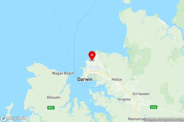
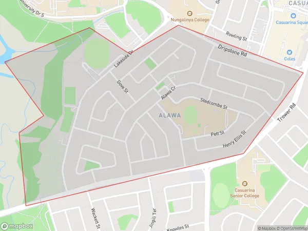
Alawa Suburbs & Region, Alawa Map & Postcodes
Alawa Suburbs & Region, Alawa Map & Postcodes in Alawa, Darwin Suburbs, Darwin, NT, AU
Alawa Region
Region Name
Alawa (NT, AU)Alawa Area
1.24 square kilometers (1.24 ㎢)Postal Codes
0810 (In total, there are 1 postcodes in Alawa.)Alawa Introduction
Alawa is a suburb of Darwin in the Northern Territory of Australia. It is located in the City of Darwin local government area. The suburb is named after the Alawa River, which flows through it. Alawa is a popular residential area due to its proximity to the Darwin CBD, beaches, and recreational facilities. It is also home to several government departments and agencies, including the Australian Bureau of Statistics and the Northern Territory Police. The suburb has a diverse population, with a mix of indigenous and non-indigenous residents. It is known for its vibrant cultural heritage and is home to several cultural institutions, including the Alawa Museum and the Alawa Community Centre.Australia State
City or Big Region
Greater Capital City
Greater Darwin (7GDAR)District or Regional Area
Suburb Name
Alawa Region Map

Alawa Postcodes / Zip Codes
Alawa Suburbs
Alawa full address
Alawa, Darwin Suburbs, Darwin, Northern Territory, NT, Australia, SaCode: 701021010Country
Alawa, Darwin Suburbs, Darwin, Northern Territory, NT, Australia, SaCode: 701021010
Alawa Suburbs & Region, Alawa Map & Postcodes has 0 areas or regions above, and there are 1 Alawa suburbs below. The sa2code for the Alawa region is 701021010. Its latitude and longitude coordinates are -12.38,130.873. Alawa area belongs to Australia's greater capital city Greater Darwin.
Alawa Suburbs & Localities
1. Alawa
