Parap Suburbs & Region, Parap Map & Postcodes
Parap Suburbs & Region, Parap Map & Postcodes in Parap, Darwin Suburbs, Darwin, NT, AU
Parap Region
Region Name
Parap (NT, AU)Parap Area
1.1 square kilometers (1.1 ㎢)Postal Codes
0804, and 0820 (In total, there are 2 postcodes in Parap.)Parap Introduction
Parap is a suburb of Darwin in the Northern Territory of Australia. It is located about 5 km from the city center and is part of the Darwin City Council Ward. The suburb has a population of around 1,500 people and is known for its historic buildings and relaxed atmosphere. Parap is home to a number of important landmarks, including the Parap Village Market, which is held every Sunday and attracts locals and tourists alike. The suburb is also home to the Parap War Memorial, which commemorates the soldiers who served in World War II.Australia State
City or Big Region
Greater Capital City
Greater Darwin (7GDAR)District or Regional Area
Suburb Name
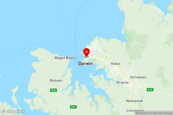
Parap Region Map

Parap Postcodes / Zip Codes
Parap Suburbs
Parap full address
Parap, Darwin Suburbs, Darwin, Northern Territory, NT, Australia, SaCode: 701011007Country
Parap, Darwin Suburbs, Darwin, Northern Territory, NT, Australia, SaCode: 701011007
Parap Suburbs & Region, Parap Map & Postcodes has 0 areas or regions above, and there are 2 Parap suburbs below. The sa2code for the Parap region is 701011007. Its latitude and longitude coordinates are -12.4325,130.846. Parap area belongs to Australia's greater capital city Greater Darwin.
Parap Suburbs & Localities
1. Parap
2. Parap
