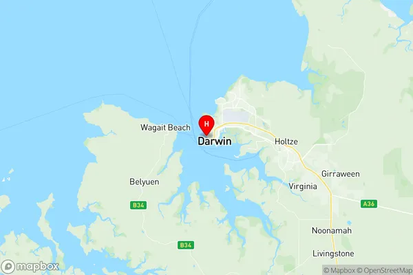
Larrakeyah Suburbs & Region, Larrakeyah Map & Postcodes
Larrakeyah Suburbs & Region, Larrakeyah Map & Postcodes in Larrakeyah, Darwin Suburbs, Darwin, NT, AU
Larrakeyah Region
Region Name
Larrakeyah (NT, AU)Larrakeyah Area
1.95 square kilometers (1.95 ㎢)Larrakeyah Introduction
Larrakeyah is a suburb of Darwin in the Northern Territory, Australia. It is located in the City of Darwin local government area. The suburb is named after the Larrakia people, who are the traditional owners of the land. Larrakeyah is a popular residential area due to its proximity to the Darwin CBD, beaches, and recreational facilities. It is also home to a number of important government and military facilities, including the Royal Australian Air Force Base Darwin and the Australian Defence Force Academy.Australia State
City or Big Region
Greater Capital City
Greater Darwin (7GDAR)District or Regional Area
Suburb Name
Larrakeyah Region Map

Larrakeyah Suburbs
Larrakeyah full address
Larrakeyah, Darwin Suburbs, Darwin, Northern Territory, NT, Australia, SaCode: 701011005Country
Larrakeyah, Darwin Suburbs, Darwin, Northern Territory, NT, Australia, SaCode: 701011005
Larrakeyah Suburbs & Region, Larrakeyah Map & Postcodes has 0 areas or regions above, and there are 0 Larrakeyah suburbs below. The sa2code for the Larrakeyah region is 701011005. Its latitude and longitude coordinates are -12.4533,130.825. Larrakeyah area belongs to Australia's greater capital city Greater Darwin.
